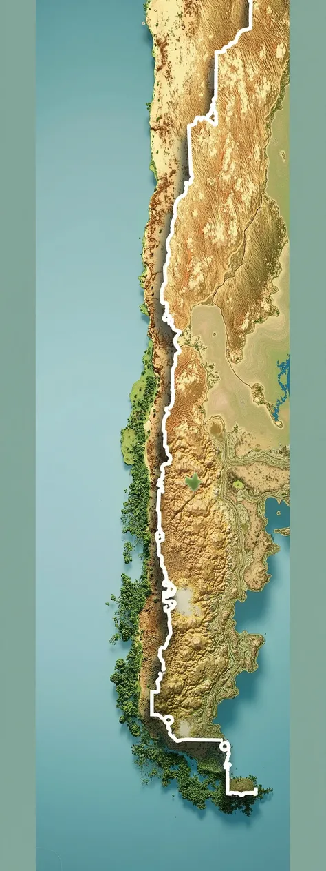
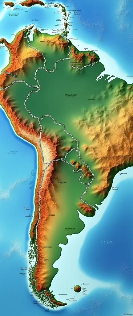
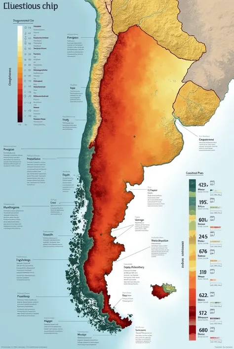
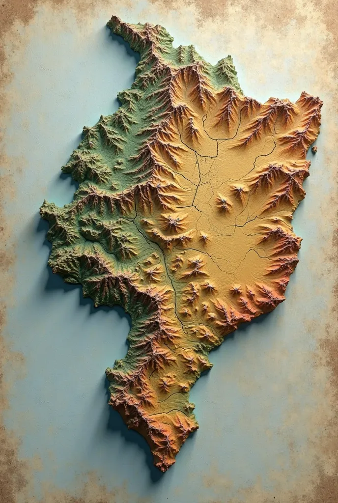
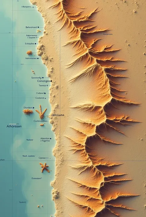
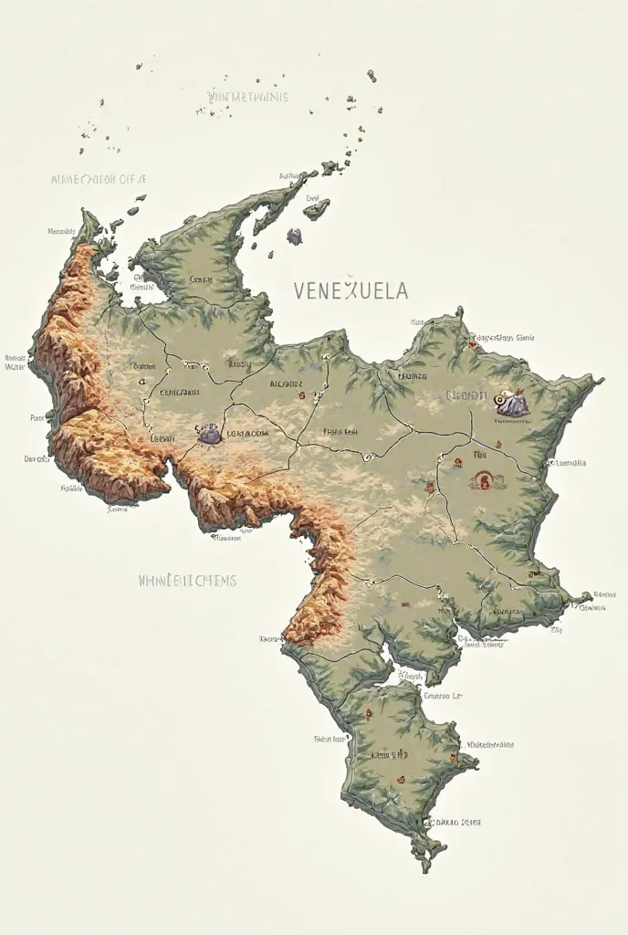
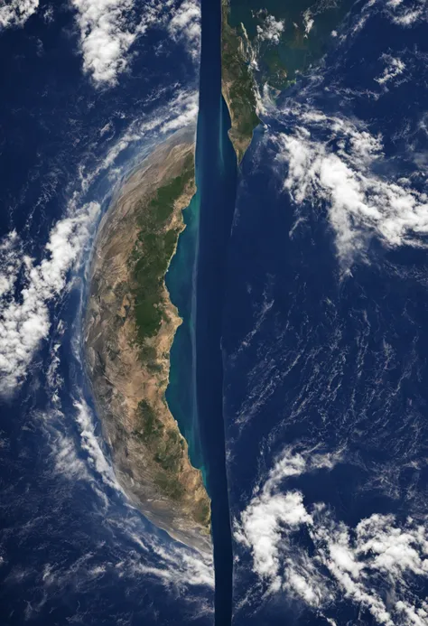
A satellite image as cartographically accurate as possible in relief mode of Arg
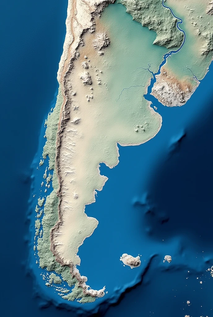


A satellite image as cartographically accurate as possible in relief mode of Argentina and the Malvinas surrounded by the sea with the colors of the Argentine flag in the highest quality achievable in photographic mode.
Prompts
Copiar prompts
A satellite image as cartographically accurate as possible in relief mode of Argentina and the Malvinas surrounded by the sea with the colors of the Argentine flag in the highest quality achievable in photographic mode
.
INFO
Checkpoint & LoRA

Checkpoint
SeaArt Infinity
#Paisaje
#SeaArt Infinity
0 comentario(s)
0
0
0
Apps de AI Rápido de SeaArt

Generación de videos con IA
Libera tu imaginación, la IA creará maravillas visuales para ti

Cambio de cara en línea gratis
Crea rápidamente videos y fotos de cambio de cara divertidos y realistas

Imagen a arte lineal
Convierte fácilmente cualquier imagen en arte lineal elegante

Filtro de IA
Hacer que cada foto sea una obra de arte.

Del anime a la realidad
Haz que tus personajes de anime favoritos cobren vida al instante.
Filtro de Studio Ghibli
Convierte cualquier foto en arte único estilo Ghibli con solo un clic.
Explora más aplicaciones AI