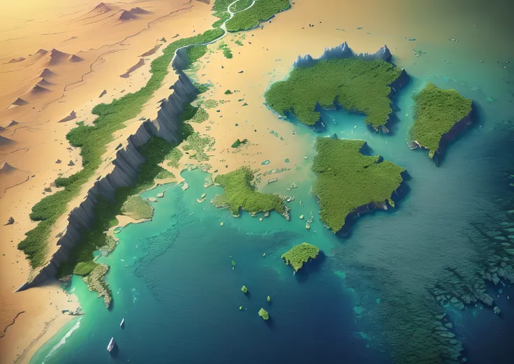
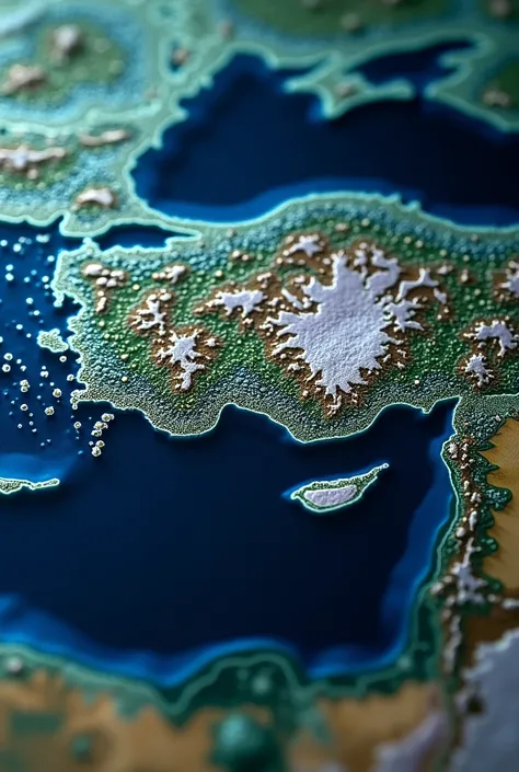
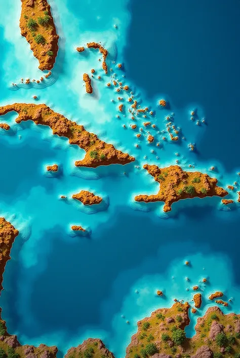
A close up of a satellite view of a large body of water


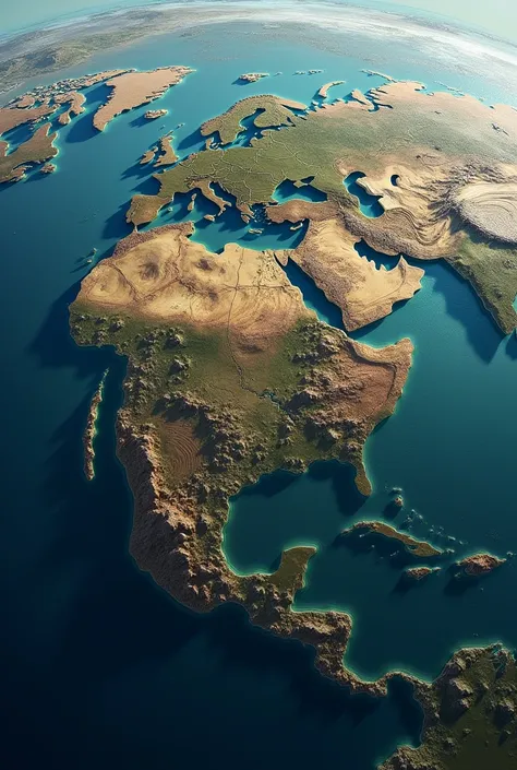
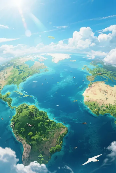
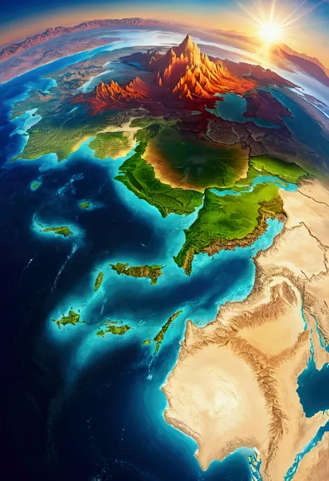
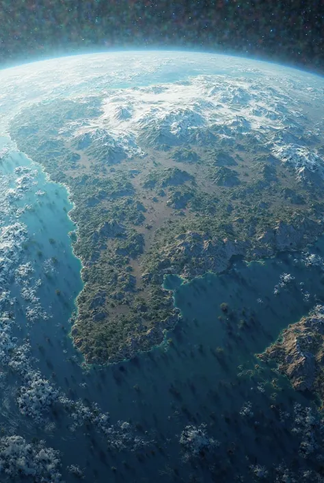
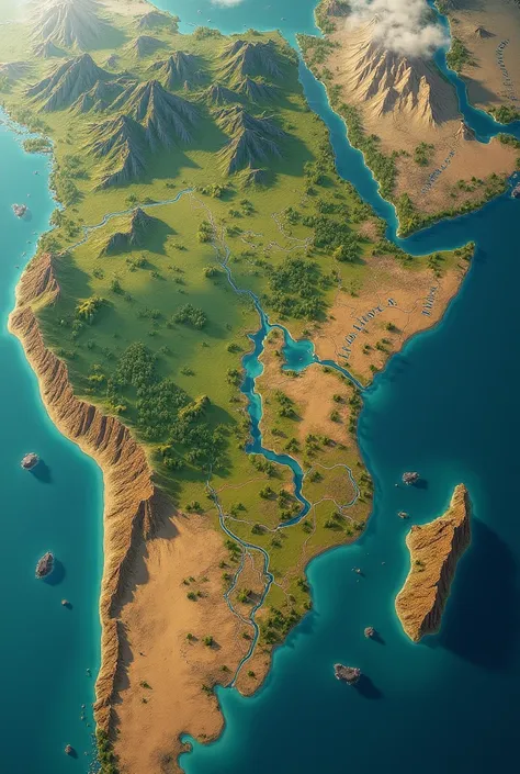
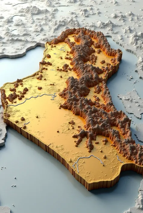
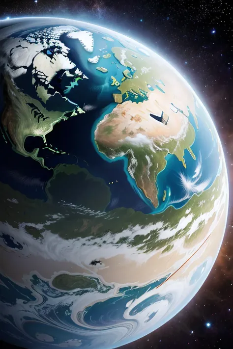
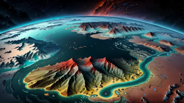
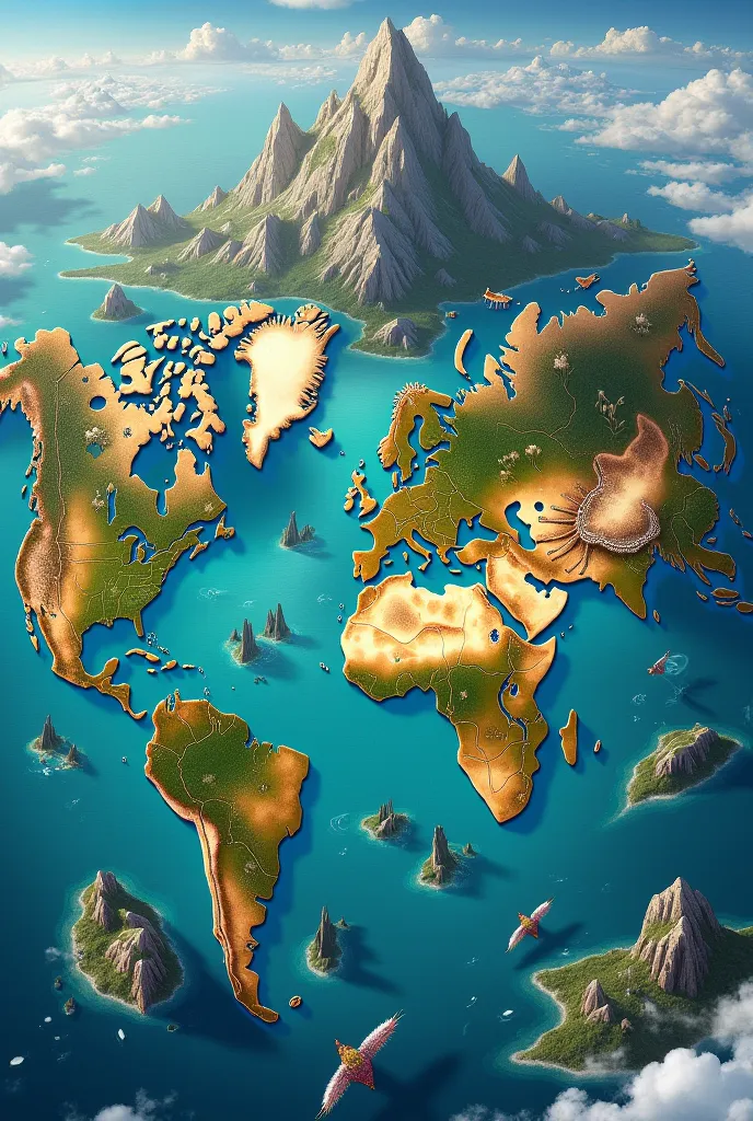
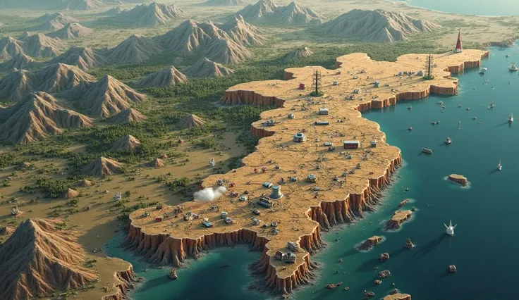
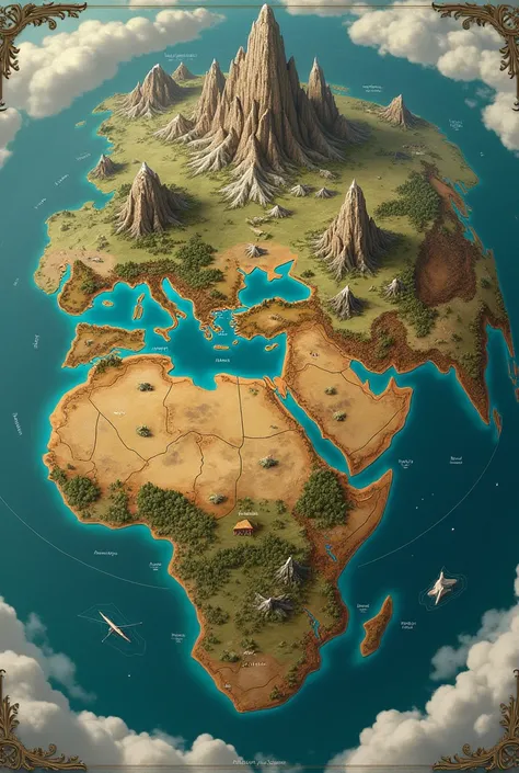
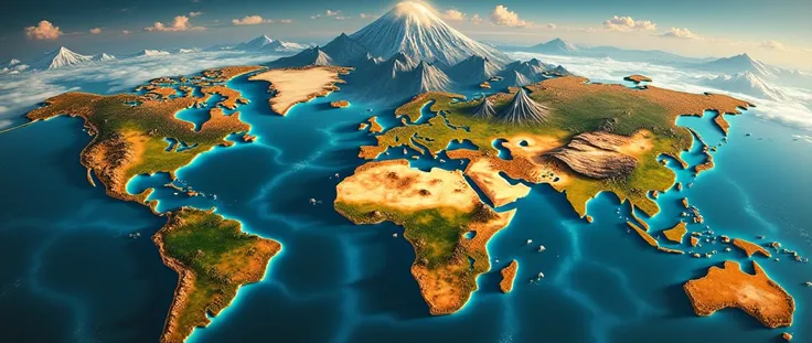
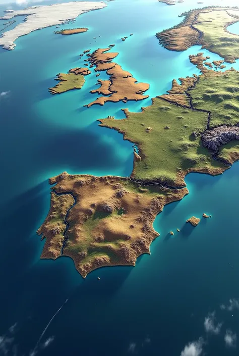
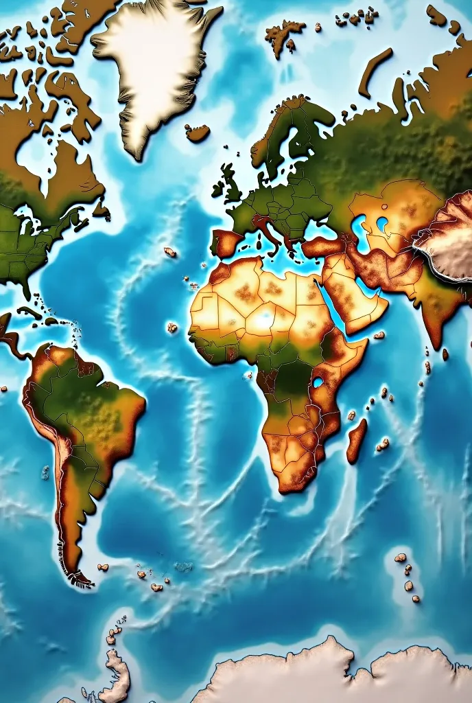
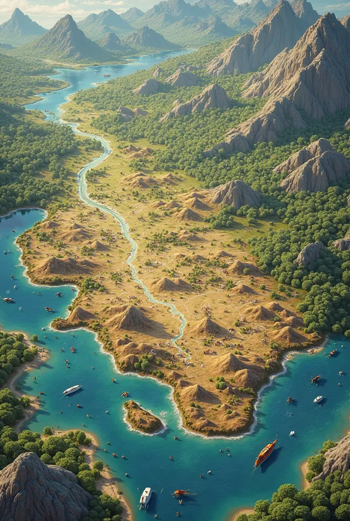
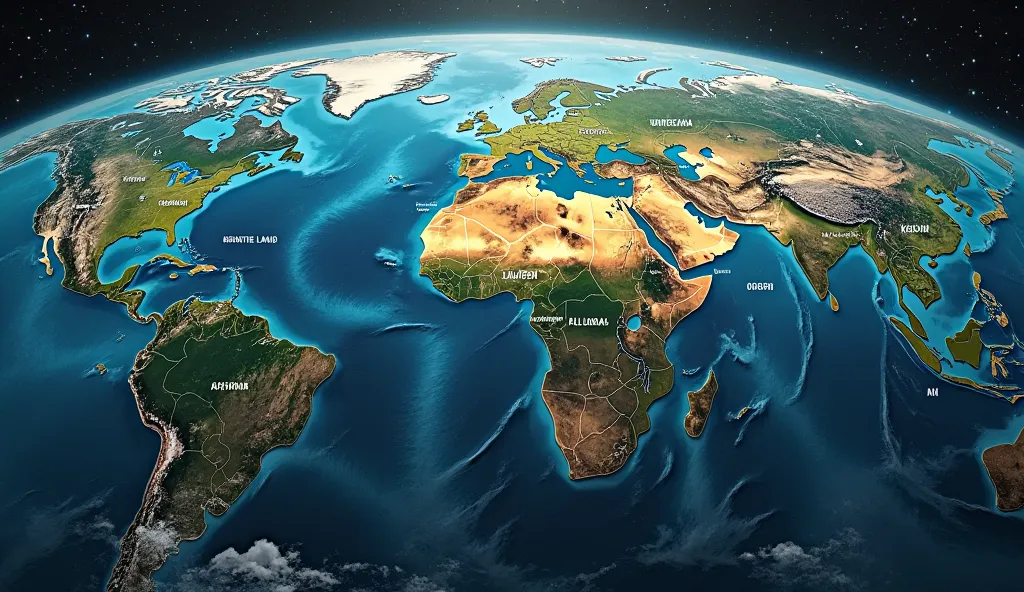
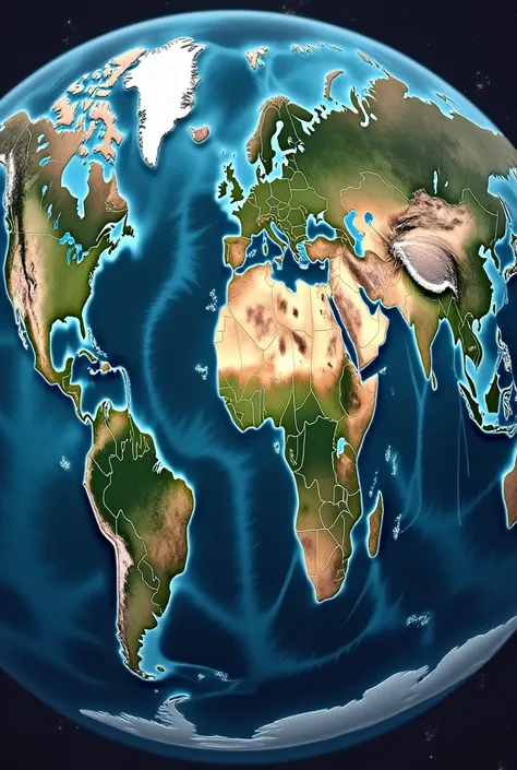
The world map、A flat map that visually represents geographic information on the earth、地球全体の地shapeや行政区分、Physical geography and economic activity、It encompasses a variety of information。This map is、地球を平面上に描くために特定のProjection methodを使用しており、This allows the curved surface of the Earth to be accurately reflected、実際のdistanceやareaをできるだけ正確に表現しようとしています。 ### Distinctive Element 1. **Projection method**: - **Mercator projection**: The meridians and parallels are perpendicular、It is suitable for sailing、高緯度地域のareaが歪む。 - **Robinson projection**: area、shape、distance、Balance the directional distortion、Overall easier to see。 - **Goode projection**: areaを正確に表示し、Particularly suitable for representing global data。 2. **kind**: - **Political Map**: Border、Major cities、Indicates administrative divisions such as states and provinces。 - **Physical Map**: mountains、Rivers、oceanなどの自然地shapeを強調。 - **Climate Map**: Shows the climate classification of each region.、Shows temperature and precipitation patterns。 - **Economic Map**: Shows economic activity and resource distribution in each region。 3. **Content and Information**: - All continents、ocean、Location and size of countries、shape状を明示。 - Major geographical features、例えばmountainsや川、Show desert etc.。 - Administrative boundaries are clearly indicated、各国の首都やMajor citiesを特定。 ### Use 1. **educate**: - 学校で地理educateの基本ツールとして使用され、Help students understand the bigger picture of the world。 - Used in geography and history classes、Like the Earth々Deepen your understanding of the region。 2. **Travel and Navigation**: - Planning tourist destinations and travel plans、Used to check the route。 - 世界一周旅行や国際businessのための計画に不可欠。 3. **science研究**: - Used to study climate change and analyze biodiversity distribution。 - Plays an important role in geography and geology research。 4. **business**: - International Trade、logistics、Used in marketing planning。 - Used as a tool for market analysis and entering new markets。 ### Historical background Since ancient times, humans have sought to understand the big picture of the world.、The earliest maps date back to the 6th century BC, when they were drawn on Babylonian clay tablets.、It was further developed by ancient Greek and Roman cartographers.。Through the Middle Ages and the Renaissance、The modern, precise world map was born.、Advances in technology have made the whole picture of the Earth clearer.。 The world map、It is a window to understanding the diverse regions and cultures of the world.、science、educate、businessの分野で不可欠なツールとして活用されています。
Prompts
Copy
The world map、A flat map that visually represents geographic information on the earth、地球全体の地shapeや行政区分、Physical geography and economic activity、It encompasses a variety of information
。
This map is、地球を平面上に描くために特定のProjection methodを使用しており、This allows the curved surface of the Earth to be accurately reflected、実際のdistanceやareaをできるだけ正確に表現しようとしています
。
### Distinctive Element 1
.
**Projection method**:
- **Mercator projection**: The meridians and parallels are perpendicular、It is suitable for sailing、高緯度地域のareaが歪む
。
- **Robinson projection**: area、shape、distance、Balance the directional distortion、Overall easier to see
。
- **Goode projection**: areaを正確に表示し、Particularly suitable for representing global data
。
2
.
**kind**:
- **Political Map**: Border、Major cities、Indicates administrative divisions such as states and provinces
。
- **Physical Map**: mountains、Rivers、oceanなどの自然地shapeを強調
。
- **Climate Map**: Shows the climate classification of each region
.
、Shows temperature and precipitation patterns
。
- **Economic Map**: Shows economic activity and resource distribution in each region
。
3
.
**Content and Information**:
- All continents、ocean、Location and size of countries、shape状を明示
。
- Major geographical features、例えばmountainsや川、Show desert etc
.。
- Administrative boundaries are clearly indicated、各国の首都やMajor citiesを特定
。
### Use 1
.
**educate**:
- 学校で地理educateの基本ツールとして使用され、Help students understand the bigger picture of the world
。
- Used in geography and history classes、Like the Earth々Deepen your understanding of the region
。
2
.
**Travel and Navigation**:
- Planning tourist destinations and travel plans、Used to check the route
。
- 世界一周旅行や国際businessのための計画に不可欠
。
3
.
**science研究**:
- Used to study climate change and analyze biodiversity distribution
。
- Plays an important role in geography and geology research
。
4
.
**business**:
- International Trade、logistics、Used in marketing planning
。
- Used as a tool for market analysis and entering new markets
。
### Historical background Since ancient times
,
humans have sought to understand the big picture of the world
.
、The earliest maps date back to the 6th century BC
,
when they were drawn on Babylonian clay tablets
.
、It was further developed by ancient Greek and Roman cartographers
.。
Through the Middle Ages and the Renaissance、The modern
,
precise world map was born
.
、Advances in technology have made the whole picture of the Earth clearer
.。
The world map、It is a window to understanding the diverse regions and cultures of the world
.
、science、educate、businessの分野で不可欠なツールとして活用されています
。
INFO
Checkpoint & LoRA

Checkpoint
MeinaUnreal
#Landscape
#Scene Design
0 comment
0
1
0
SeaArt Swift AI Apps
AI Video Generation
Unleash your imagination and let AI create visual wonders for you

Face Swap Online Free
Create funny or realistic face swap videos & photos in a snap

Gender Swap
Swap genders in photos and videos with SeaArt's AI gender swapper. Enjoy fun and realistic transformations effortlessly, free online!
Change the Person in the Photo
Easily replace the person in any photo with AI.

Cartoon Avatar Maker
Turn your photos into unique cartoon avatars instantly.
Studio Ghibli Filter
Transform any photo into unique Ghibli-style art in just one click.
Explore More AI Apps