
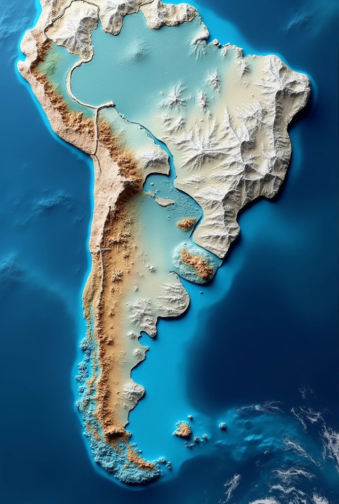
A satellite image as cartographically accurate as possible in relief mode of Arg


Generation Data
Records
Prompts
Copy
A satellite image as cartographically accurate as possible in relief mode of Argentina and the Malvinas surrounded by the sea with the colors of the Argentine flag in the highest quality achievable in photographic mode
.
INFO
Checkpoint & LoRA

Checkpoint
SeaArt Infinity
#Landscape
#SeaArt Infinity
0 comment
0
0
0
SeaArt Swift AI Apps

AI Video Generation
Unleash your imagination and let AI create visual wonders for you

Face Swap Online Free
Create funny or realistic face swap videos & photos in a snap

AI Kissing Video Generator
Join the kissing trend with SeaArt's AI kissing video generator instantly. Easily make two people kiss, and create realistic animation.

Image to Line Art
Effortlessly convert any image into elegant line art
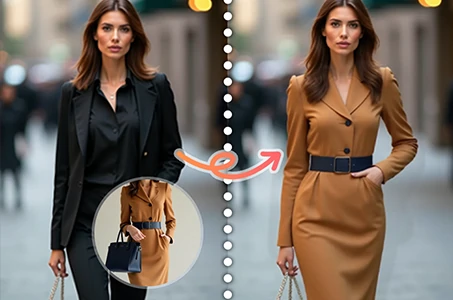
Virtual Try on Clothes
Try on any type of clothes virtually with AI.
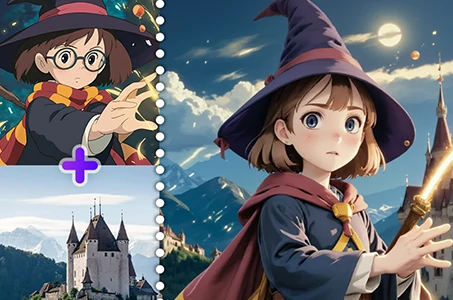
AI Image Fusion
Combine two images into new one stunning visual with AI Image Fusion.
Explore More AI Apps