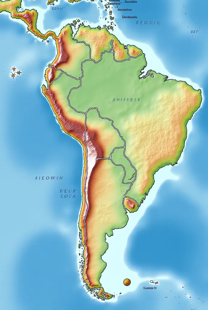
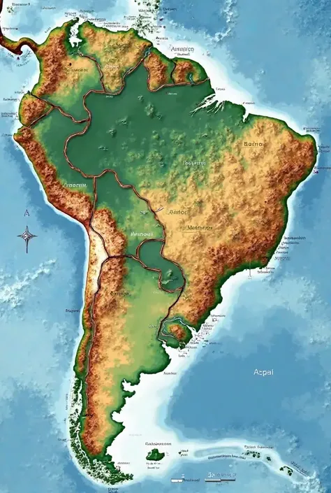
Clearing! Here is a descriptive text to generate an image of Sibra on a world ma


Generation Data
Enregistrements
Prompts
Copier les Paramètres
clearing
!
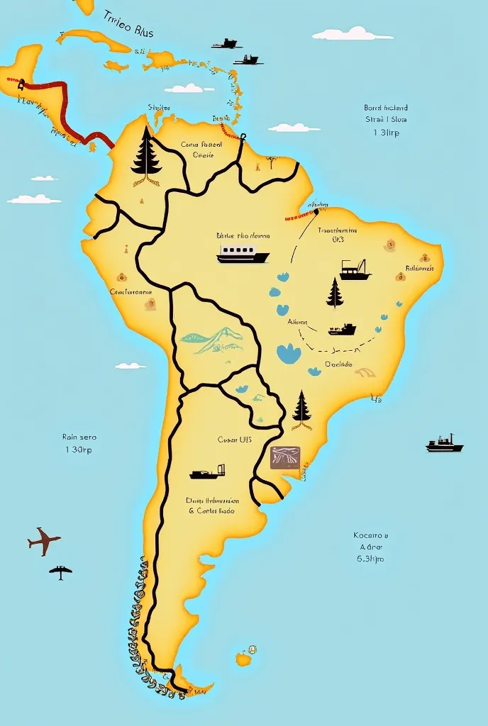
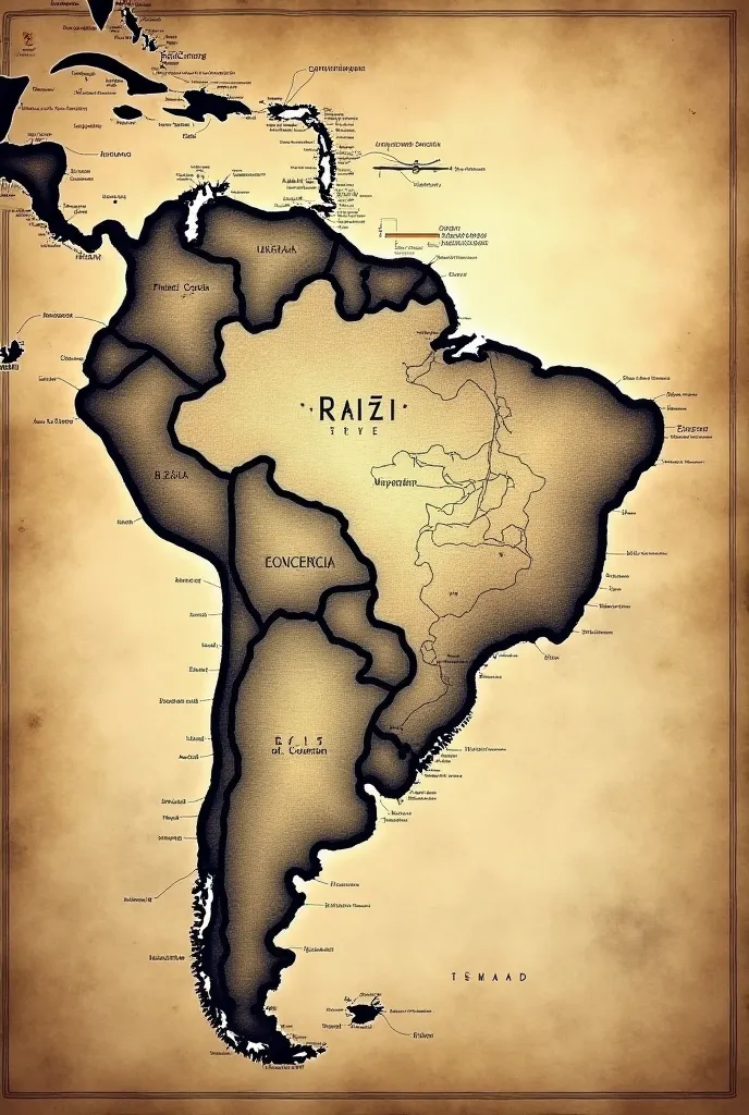
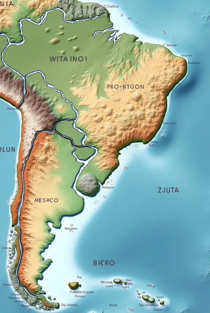
Here is a descriptive text to generate an image of Sibra on a world map using an image generation tool:
---
**Sibra Map Description:**
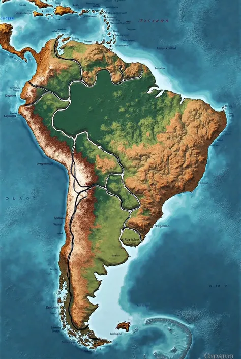
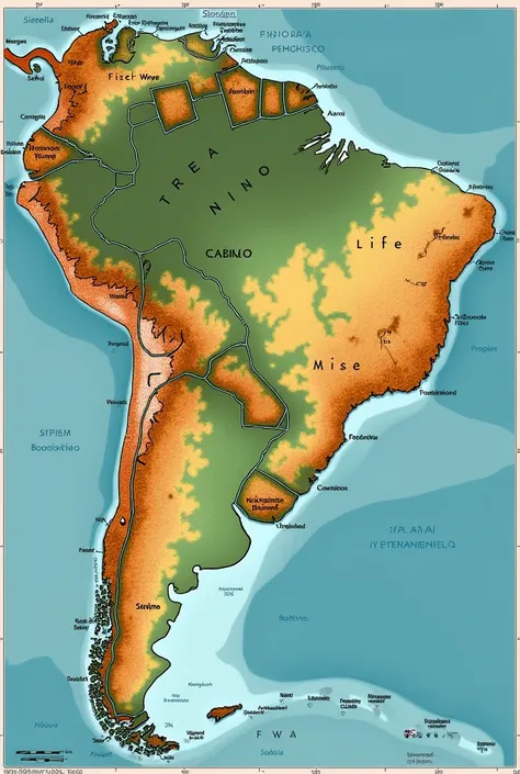
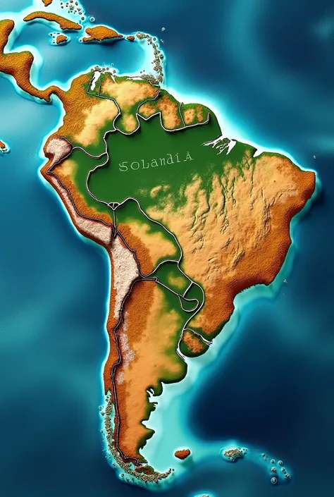
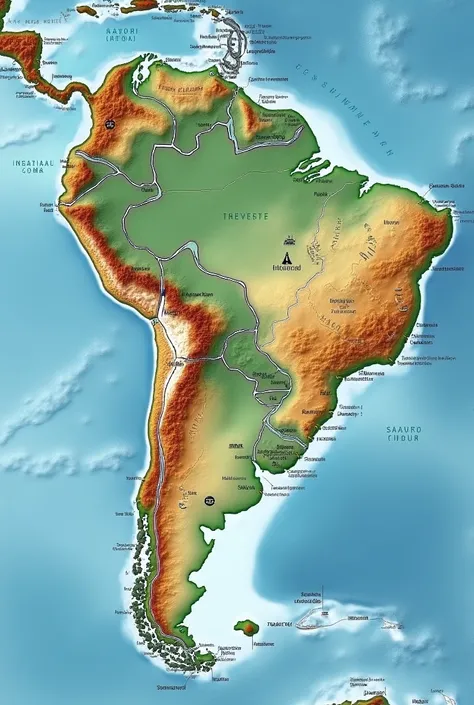
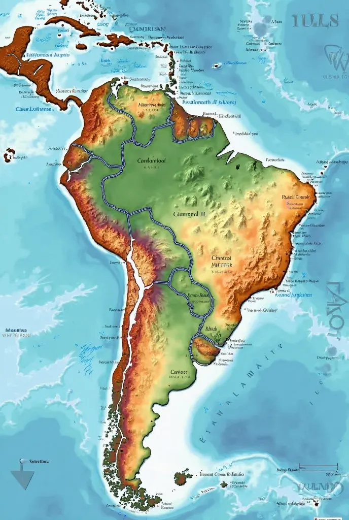
Create a world map highlighting a large island on a continent
.
In the part of that island
,
show a country called Sibra
,
which occupies approximately 30% of the island area
.
Sibra'
;
s shape must be irregular and cover a significant portion of the coast or central territory of the island
..
- **ground:** Represent Sibra with soft grassy plains
.
Use a light
,
soft green color to show the even
,
flat terrain
..
- **climate:** Add subtle icons or markings that suggest a humid climate with frequent rainfall
,
like small clouds or raindrops
,
to indicate the predominance of humidity
.
- **Geographical Details:** Include some watermarks
,
like rivers or lakes
,
to give a realistic touch to the map
,
with blue lines or soft waves
.
- **Borders and Colors:** Use a darker border around the island to make it stand out from the ocean
..
The ocean background color can be a light blue for contrast
..
Make sure Sibra is clearly visible and highlighted on the map
,
with its area clearly indicated in relation to the rest of the island and the mainland
.
Info
Checkpoint & LoRA
Checkpoint
SeaArt Infinity
#Paysage
#Dessin animé
#SeaArt Infinity
0 commentaire(s)
0
0
0
Apps AI Rapides de SeaArt
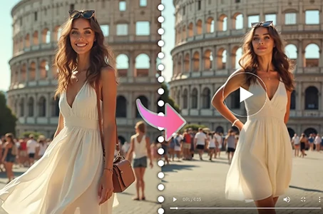
Génération de Vidéos AI
Libérez votre imagination, l'AI crée des miracles visuels pour vous.

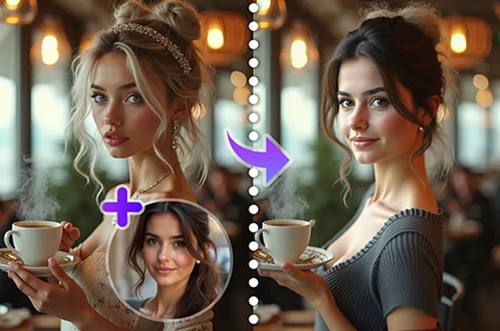
Échangez le visage gratuitement en ligne
Créez des vidéos et des photos hilarantes & réalistes en échangeant le visage rapidement
Changer la Personne sur la Photo
Remplacez facilement la personne sur n'importe quelle photo avec l'AI.
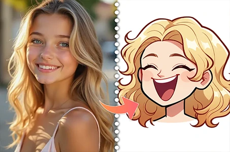
Créateur d'Avatar Cartoon
Transformez vos photos en avatars cartoon uniques instantanément.
Générateur de Vidéos de Danse AI
Jouez avec ce générateur de vidéos de danse AI et libérez instantanément votre danseur intérieur !
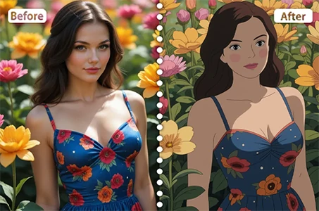
Filtre Ghibli
Transformez n'importe quelle photo en art de style Ghibli unique en un seul clic.
Explorer plus d'applications AI