
유형
TextualInversion
게시 날짜
2023-11-02
기본 모델
SD 1.5
트리거 단어
HaroldFiskMeander
복사
버전 소개
First release.
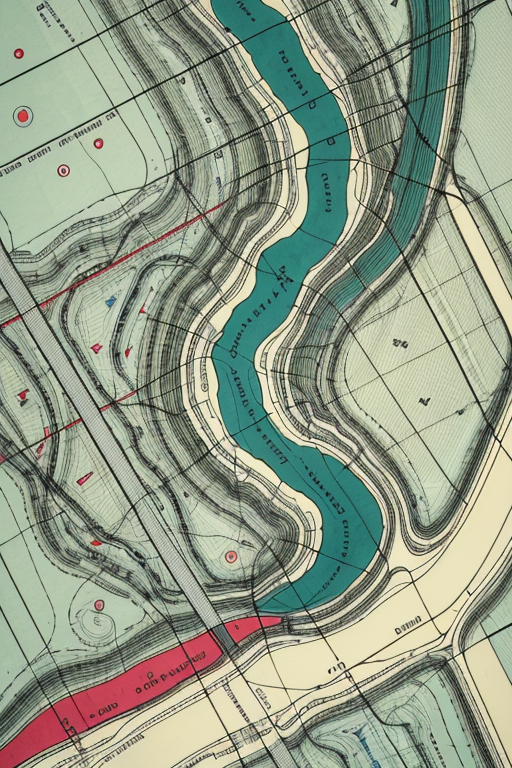
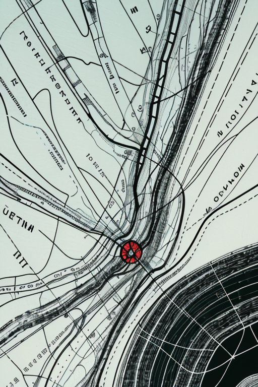
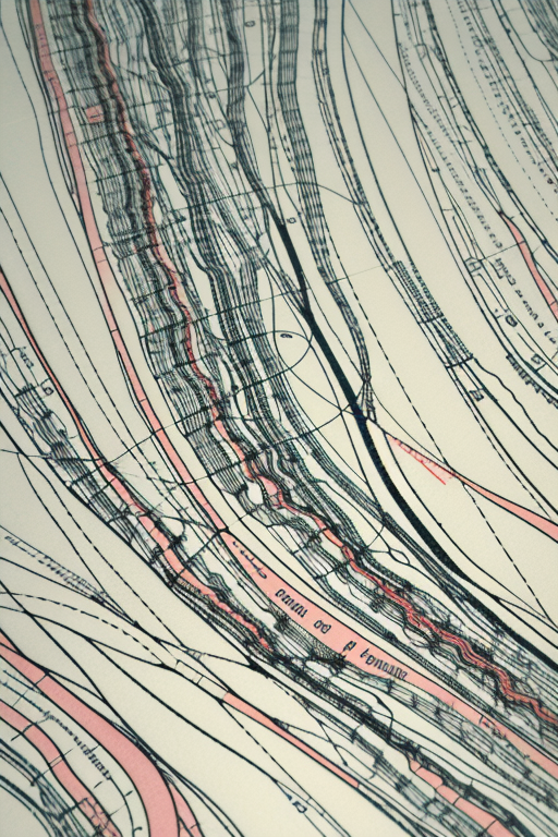
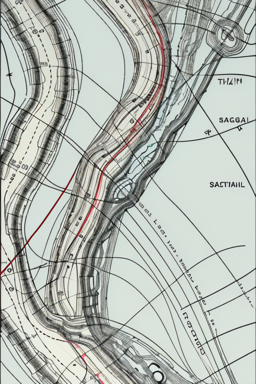
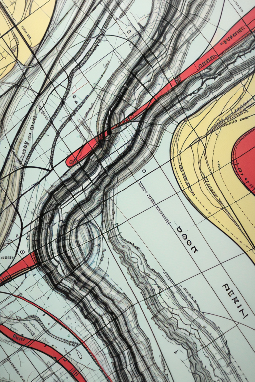
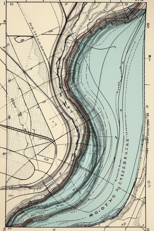
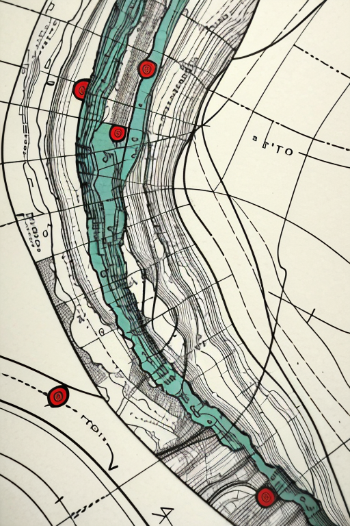
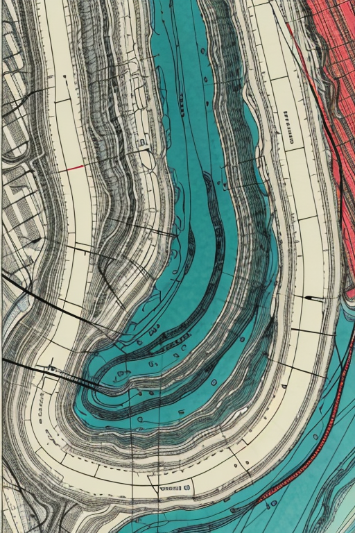
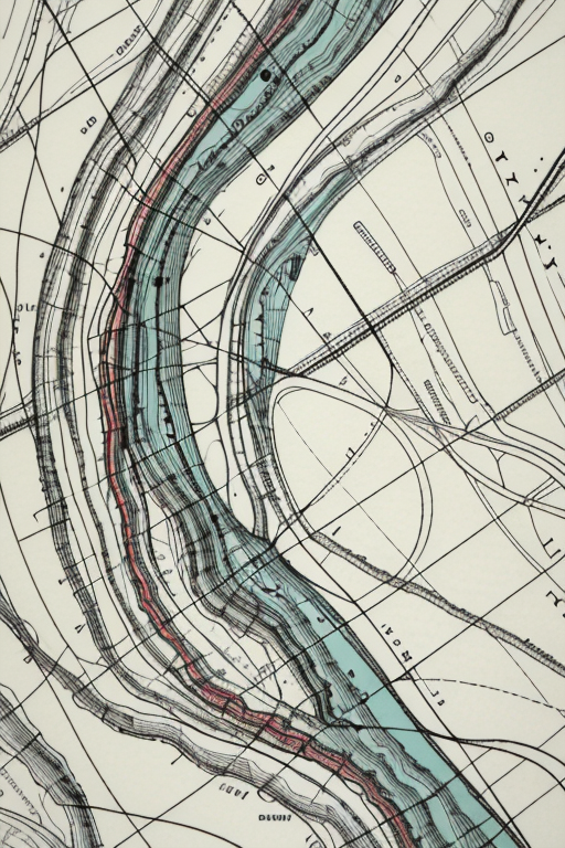
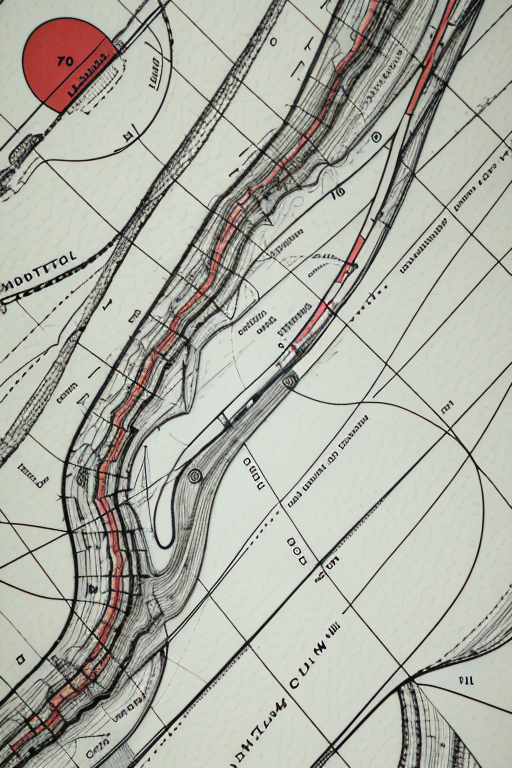
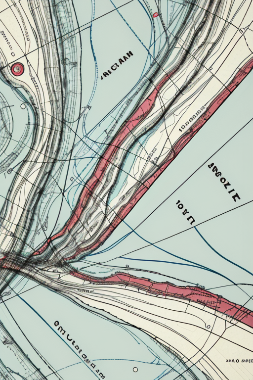
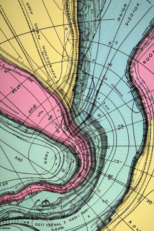
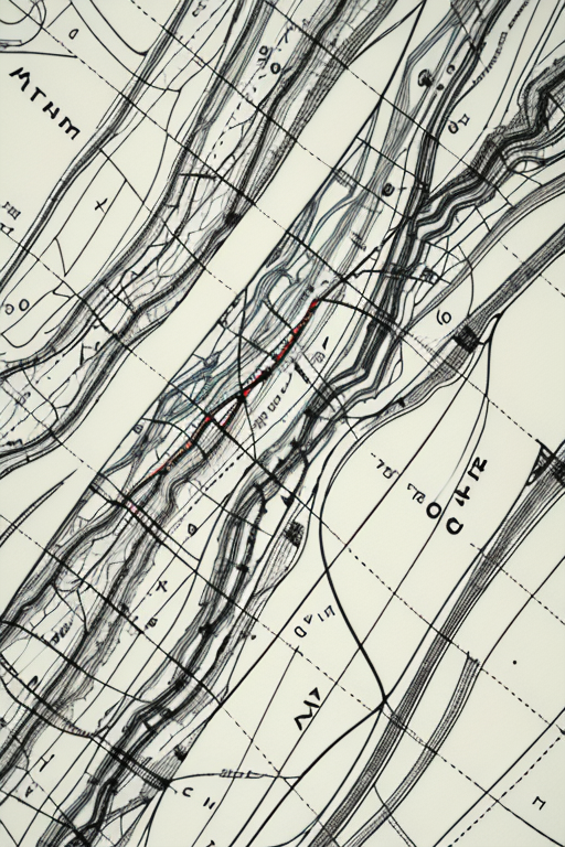
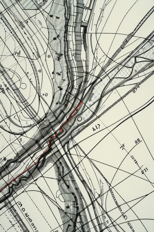
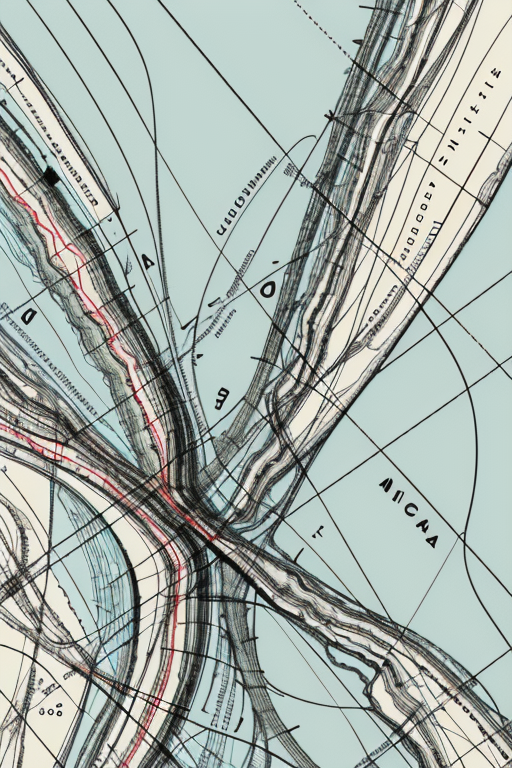
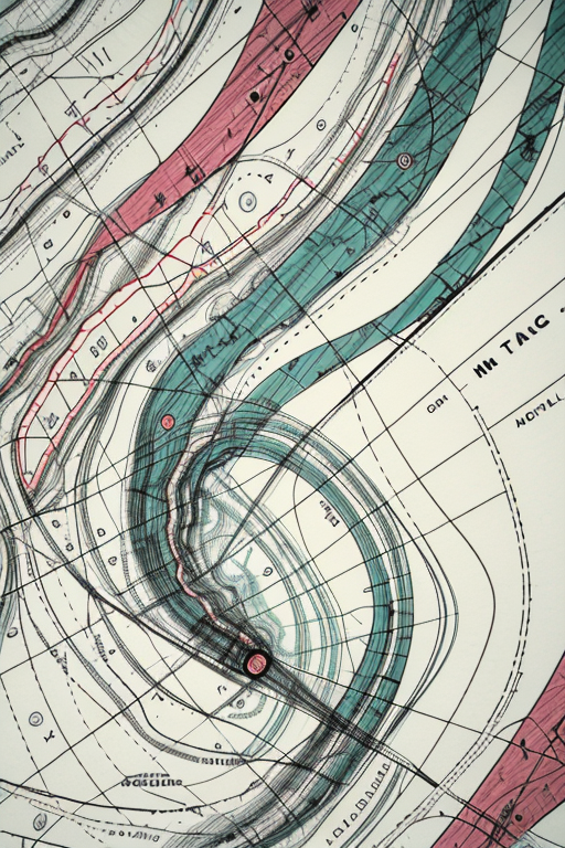
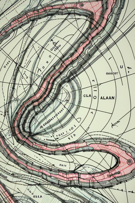
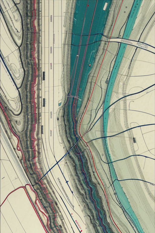
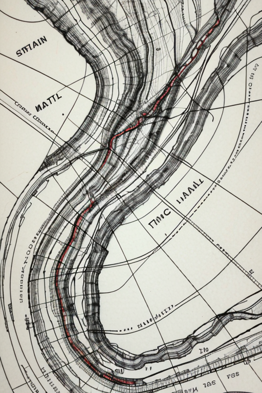

Harold Fisk (1908-1964) was a cartographer and geologist for the U.S. Army Corps of Engineers. In the early 1940s, he spent three years tracing the paths of the Mississippi River. Not just the current path — every path it had taken in the thousands of years it has wandered from the American Midwest to the Gulf of Mexico. Fisk assembled his findings into a series of colored plates published as part of 1944's Geological Investigation of the Alluvial Valley of the Lower Mississippi River. The multicolored maps — tracing Cape Girardeau, Missouri, to Donaldsonville, Louisiana — became legendary for their beauty. (You can see the originals, of which only 1,000 were printed, here.)
This embedding is trained on 30 segments of the Fisk plates — specifically, Sheet 7, along the Arkansas-Mississippi border — cooked for a total of 300 steps on base SD 1.5: 16 vectors per token, a 0.004 learning rate, a batch size of 6, and 5 gradient steps.
For a far more advanced way of paying procedural homage to Fisk's work, check out Robert Hodgin's Meander project, which creates new Fisk-inspired landscapes from scratch.
Your ratings, especially of the five-star variety, are very much appreciated.

First release.
1. 재게시된 모델의 권리는 원 제작자에게 있습니다.
2. 모델 원작자가 모델을 인증받으려면 공식 채널을 통해 SeaArt.AI 직원에게 문의하세요. 저희는 모든 창작자의 권리를 보호하기 위해 노력합니다. 인증하러 이동
