
Type
LORA
Publish Time
2023-03-20
Base Model
SD 1.5
Trigger Words
dune
mountain
moon
ocean
lake
desert
Copy
View More
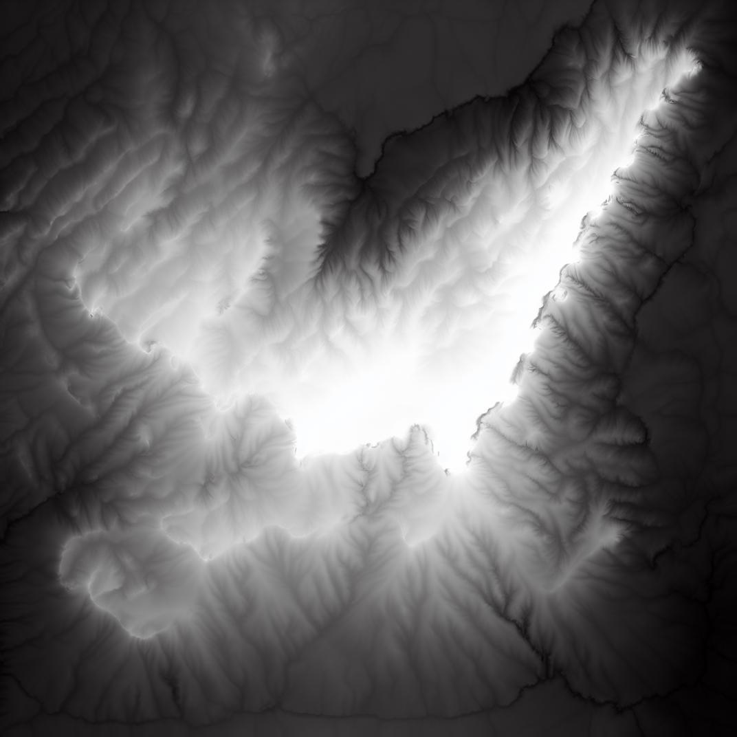
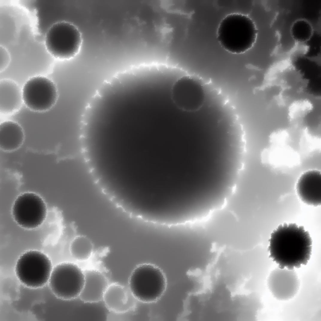
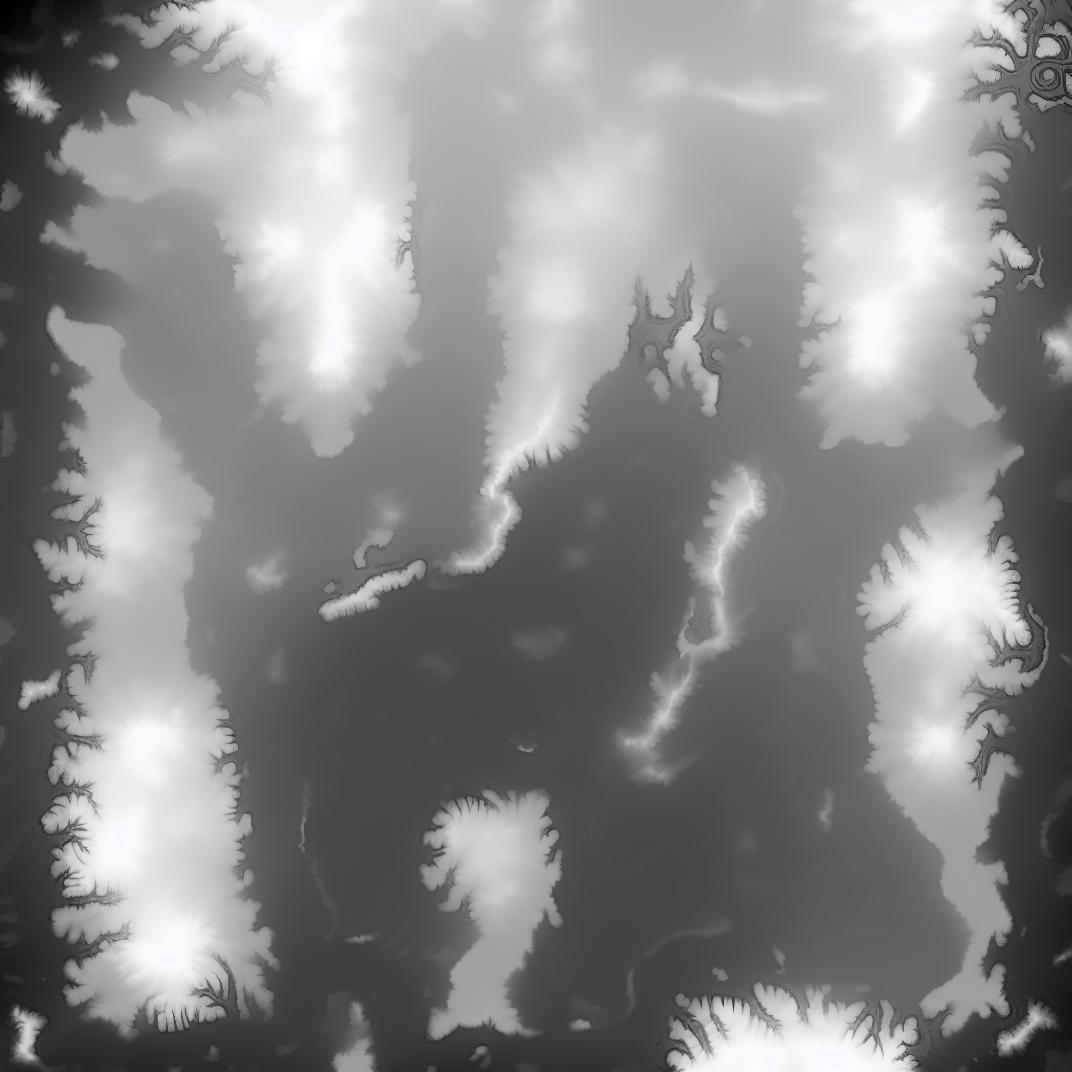

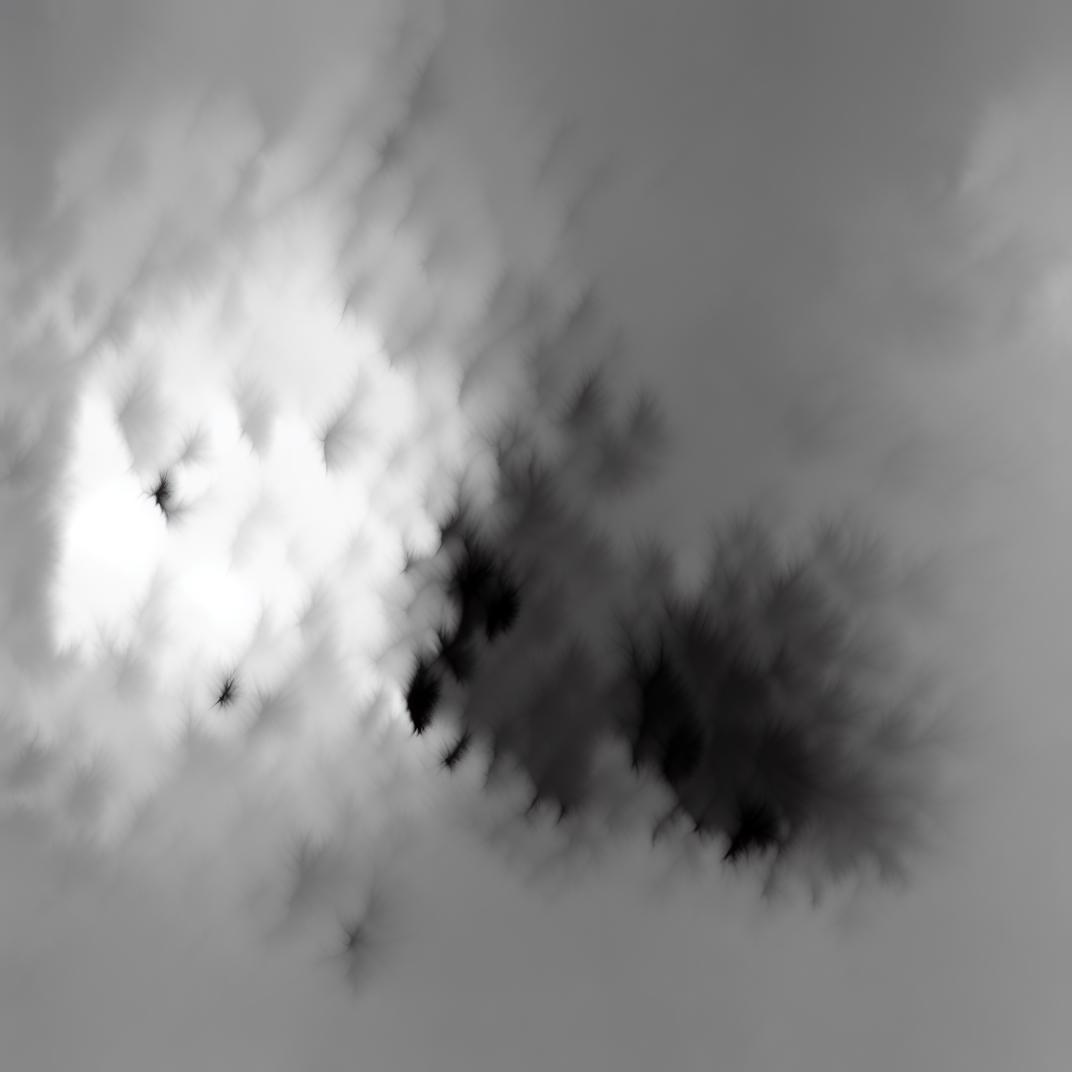
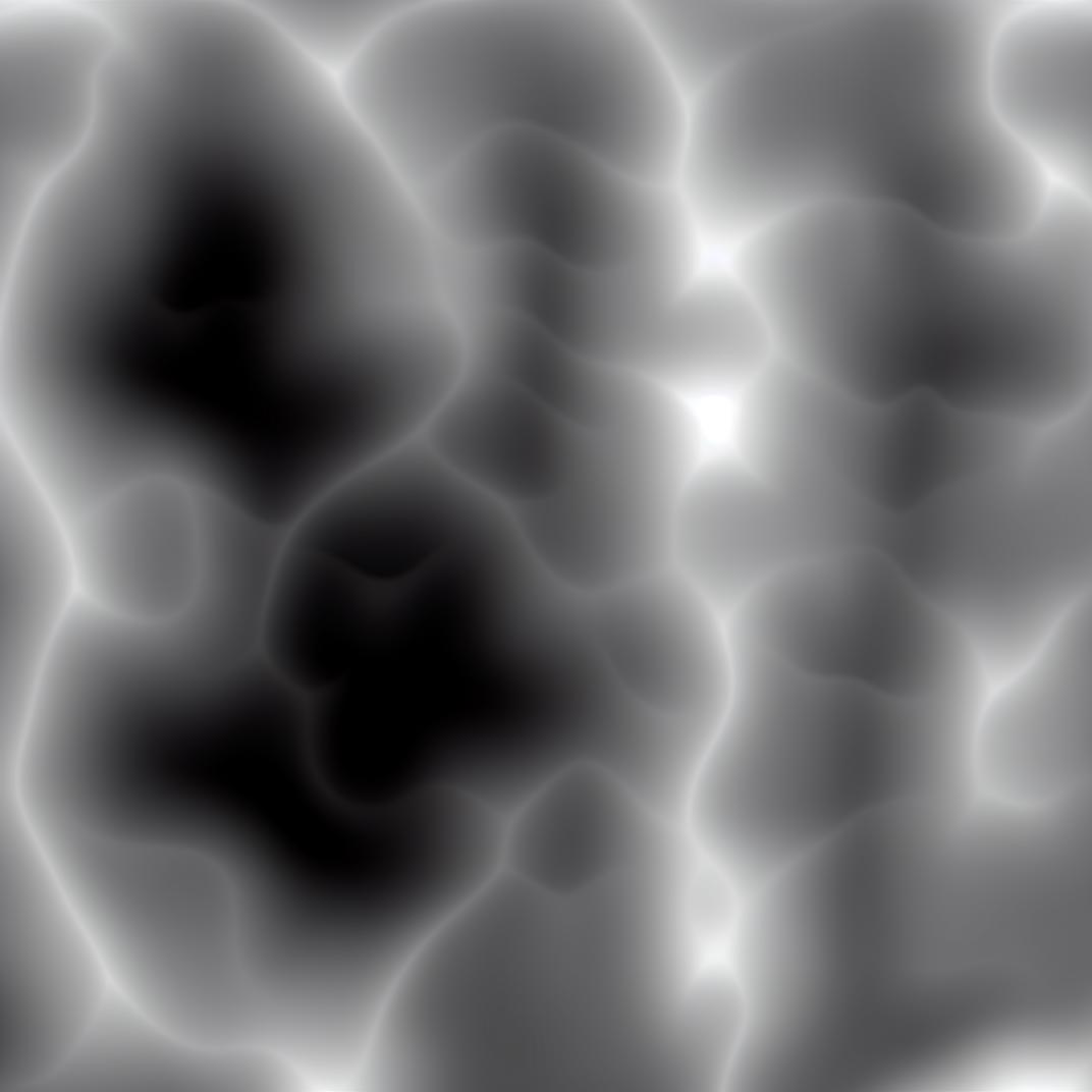
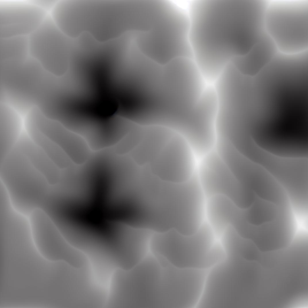
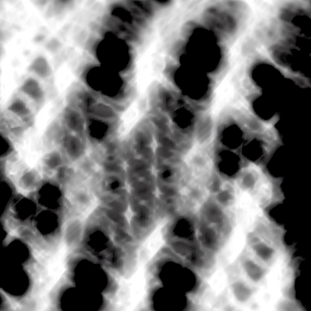
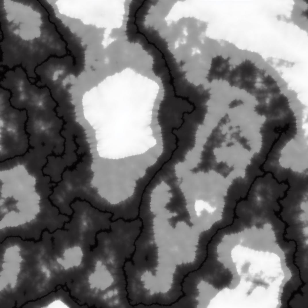
I have trained this model with 150 height maps. The training data had a resolution of 768 x 768 pixels to increase the detail of the model.
SD 1.5 was the base and some tags that can be used are:
desert, mountain, mesa, canyon, moon, crater, ocean, single mountain, dunes, islands, lake, river, (large scale, mesa, rocky, lake with mountain).
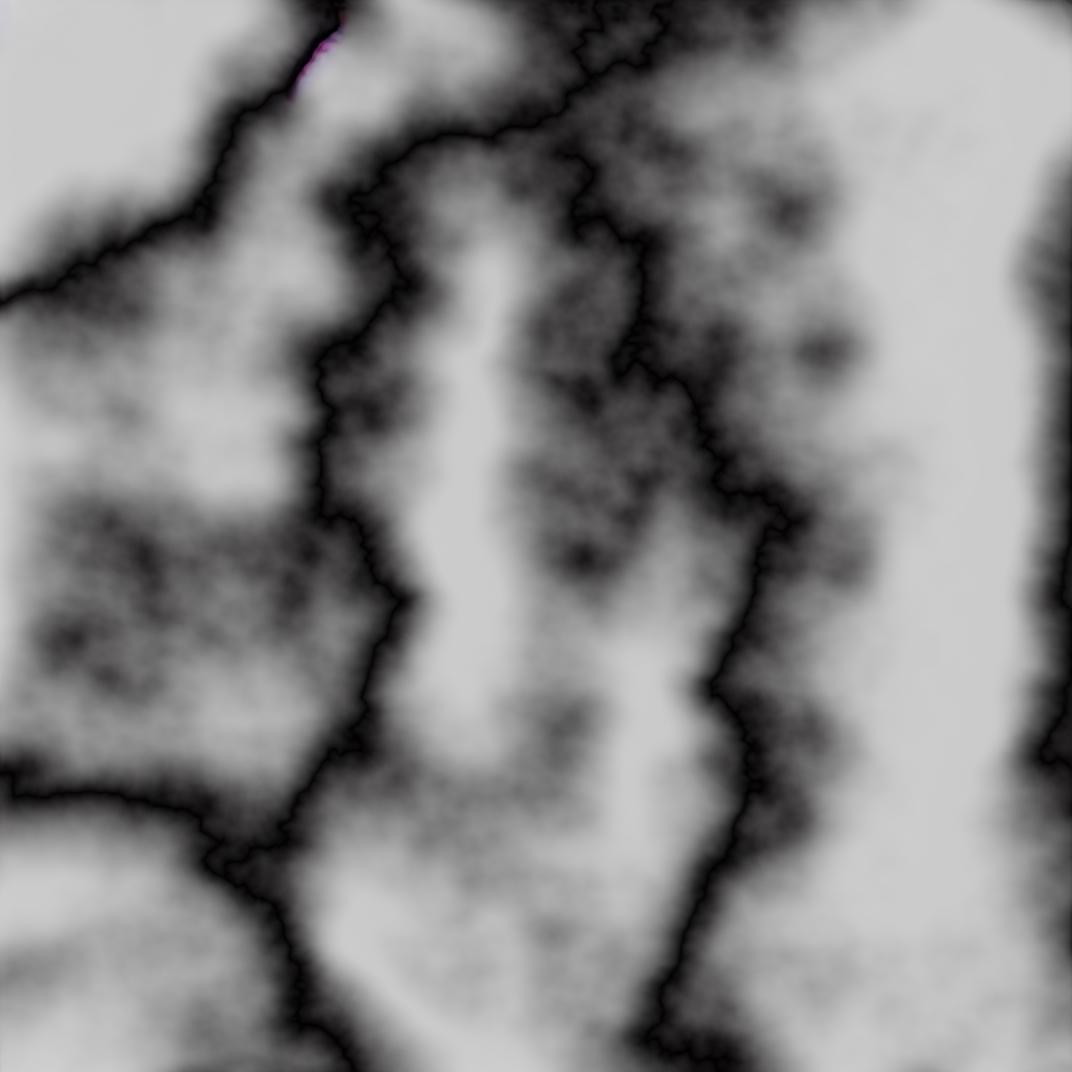
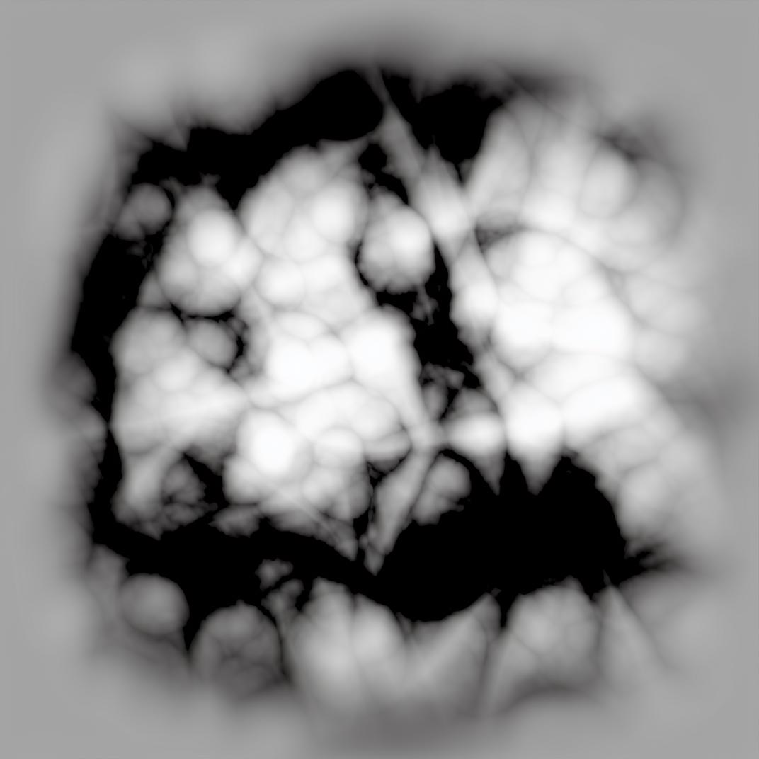
The results tend to be somewhat random and are occasionally a mix of the desired prompt and another. To prevent this, use some of the above tags as negative prompts.
I would recommend upscaling the image using software of your choice.
I like to use ChainNer and scale the images to 8k, import them into Photoshop, set the bit depth to 16 bit, and set the image size back to 4k. This way you get a good mix of bit depth and resolution.
I haven't found the best model for upscaling, but universal models tend to do a decent job, and models for banding can be used to make the transition smoother

1. The rights to reposted models belong to original creators.
2. Original creators should contact SeaArt.AI staff through official channels to claim their models. We are committed to protecting every creator's rights. Click to Claim
