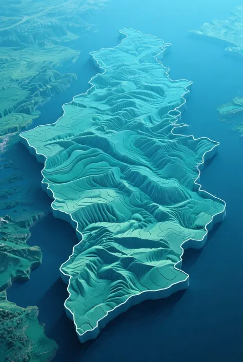
Generate an image that represents the equatorial line with geographical referenc


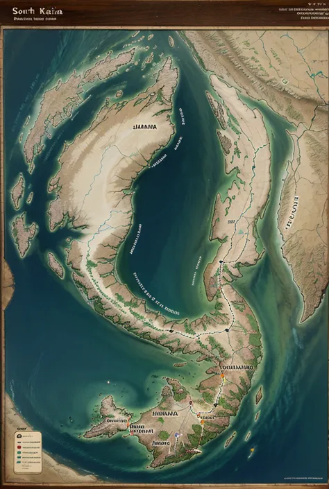
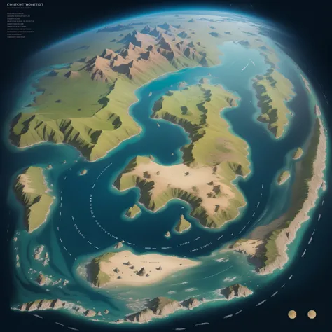
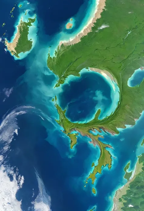
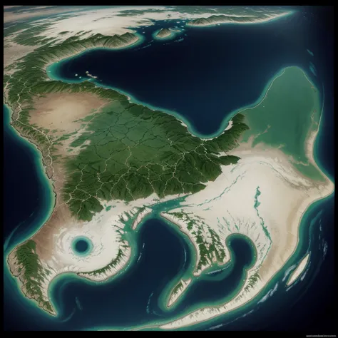
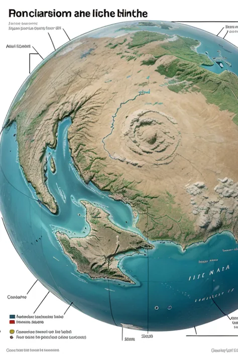
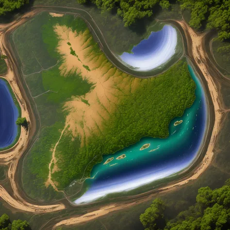
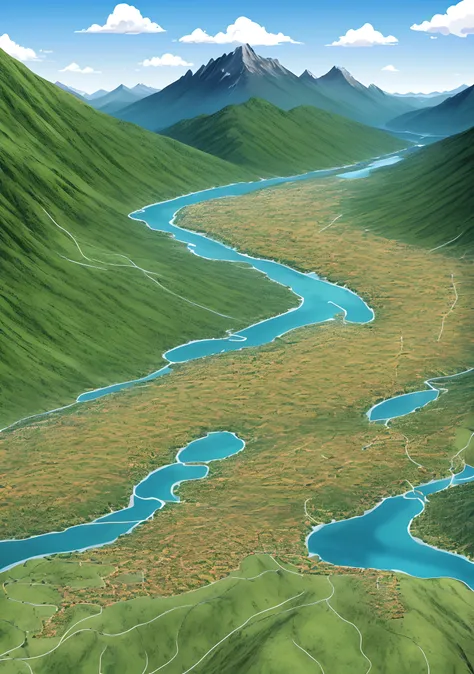
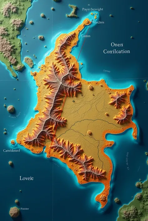
Generate an image that represents the equatorial line with geographical reference and biodiversity. The image must include a map showing the location of the equator in Peru, examples of flora and fauna characteristic of equatorial regions such as tropical plants and animals adapted to the warm climate, geographical elements that show the direct incidence of solar rays and the tropical climate, and bright colors that highlight the biological and climatic diversity of equatorial areas.
Generation Data
Registro
Prompts
Copiar prompts
Generate an image that represents the equatorial line with geographical reference and biodiversity
.
The image must include a map showing the location of the equator in Peru
,
examples of flora and fauna characteristic of equatorial regions such as tropical plants and animals adapted to the warm climate
,
geographical elements that show the direct incidence of solar rays and the tropical climate
,
and bright colors that highlight the biological and climatic diversity of equatorial areas
.
INFO
Checkpoint & LoRA

Checkpoint
CyberRealistic
#Paisagem
comentário(s)
0
0
0
Apps de IA Rápida de SeaArt
Geração de vídeos com IA
Libere sua imaginação e deixe a IA criar maravilhas visuais para você

Troca de rosto online grátis
Crie rapidamente vídeos e fotos de troca de rosto divertidos e realistas

Remover fundo.
Remova fundos de qualquer imagem em segundos.
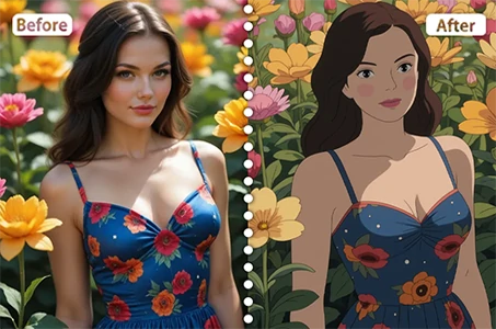
Filtro Disney
Transforme instantaneamente suas fotos em personagens da Disney.

Gerador de vídeo de dança com IA
Brinque com este gerador de vídeos de dança por IA e libere seu dançarino interior instantaneamente!
Filtro Studio Ghibli
Transforme qualquer foto em arte única no estilo Ghibli com apenas um clique.
Explore mais aplicativos AI