To create a detailed and atmospheric fantasy map of the kingdom of Sephoria
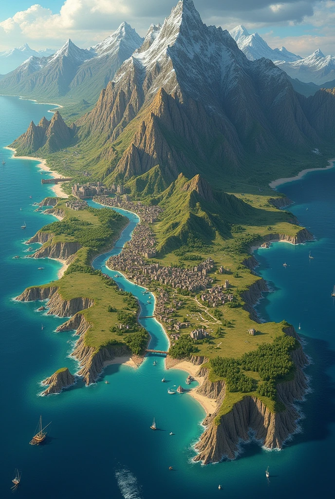


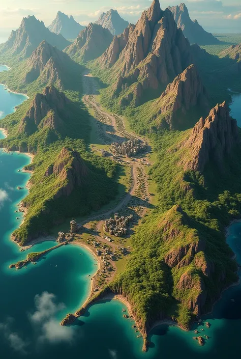
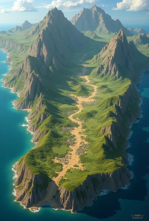
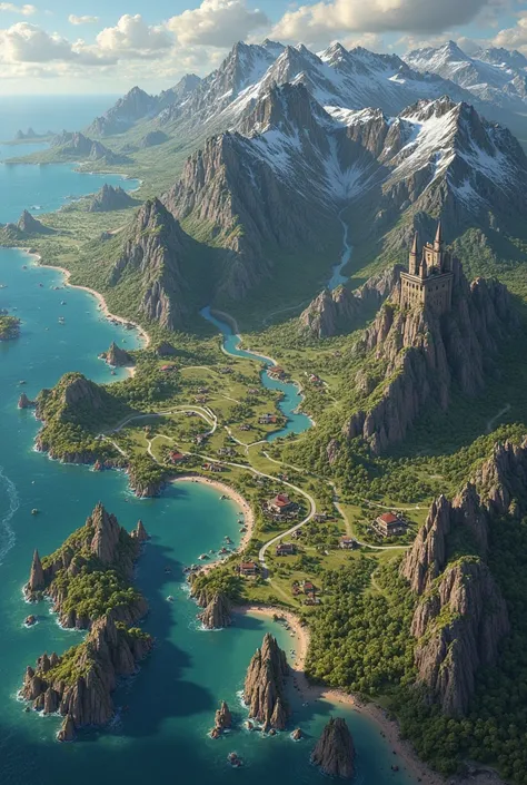
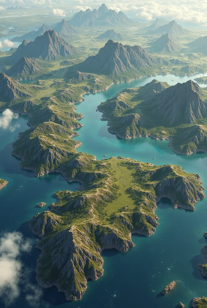
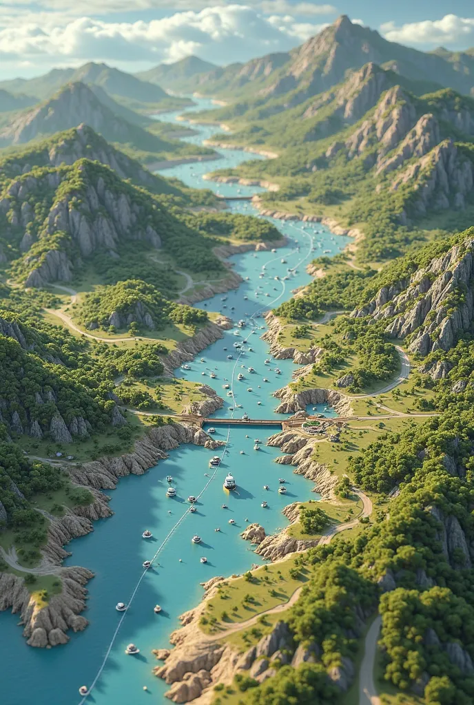
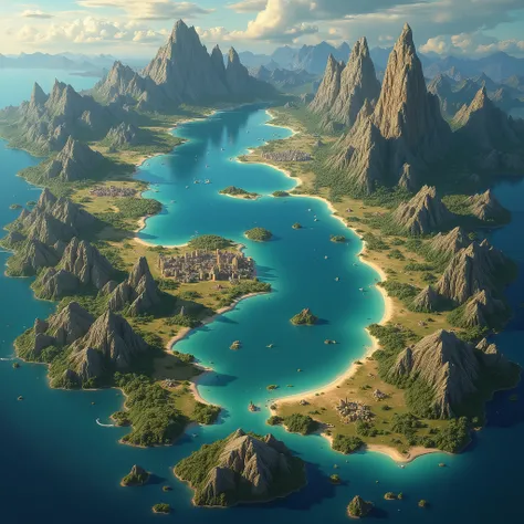
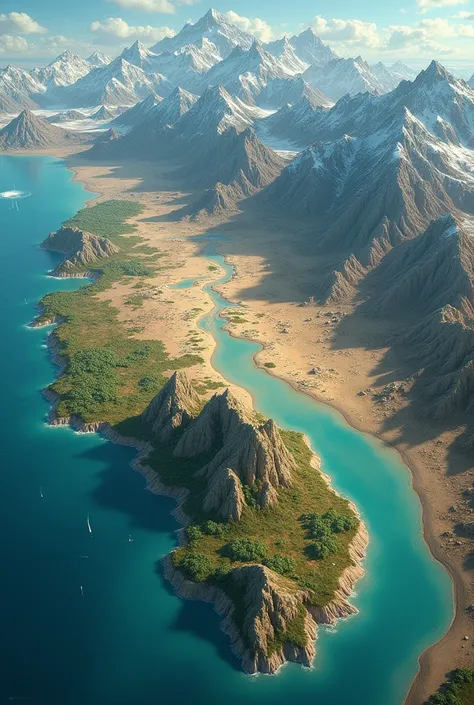
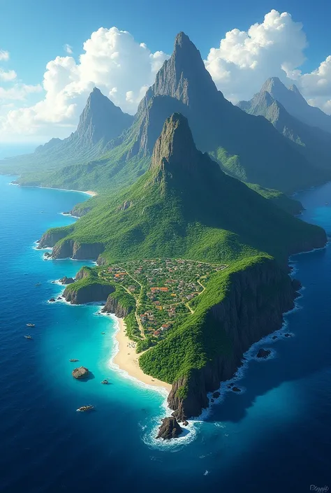
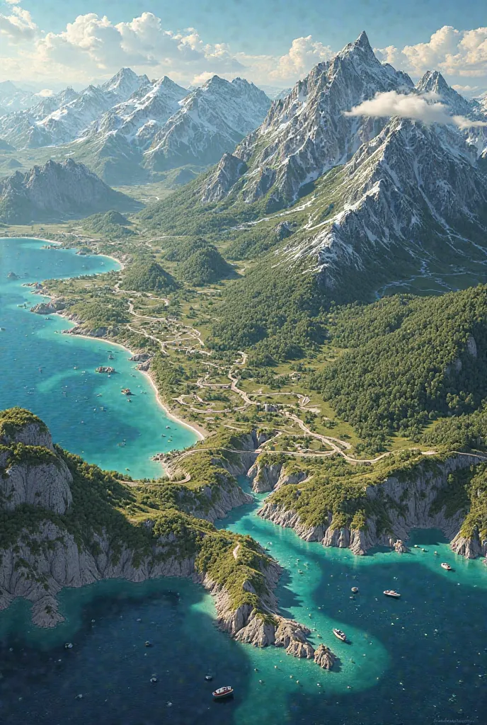
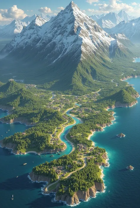
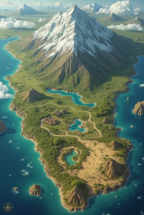
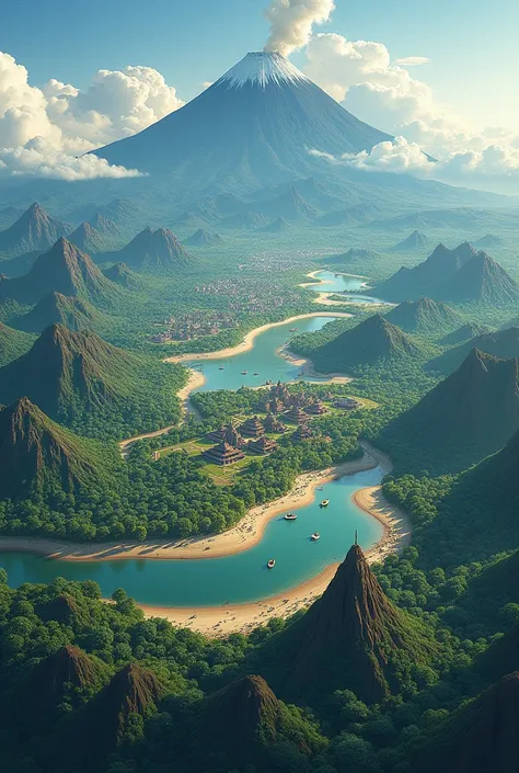
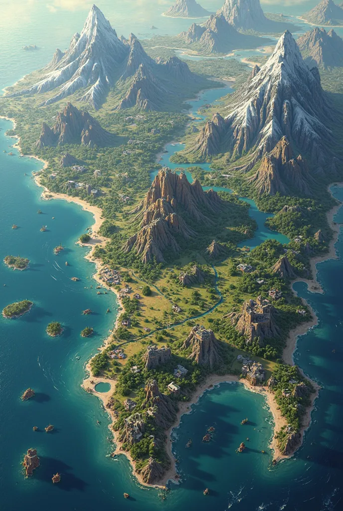
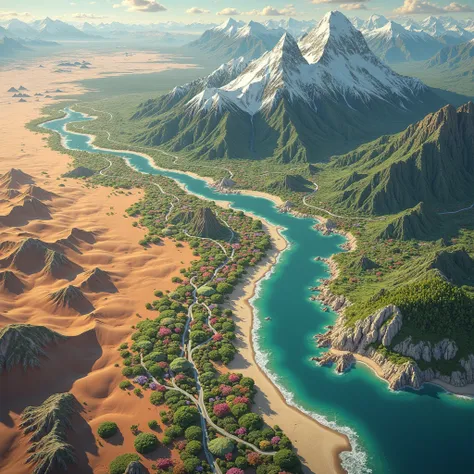
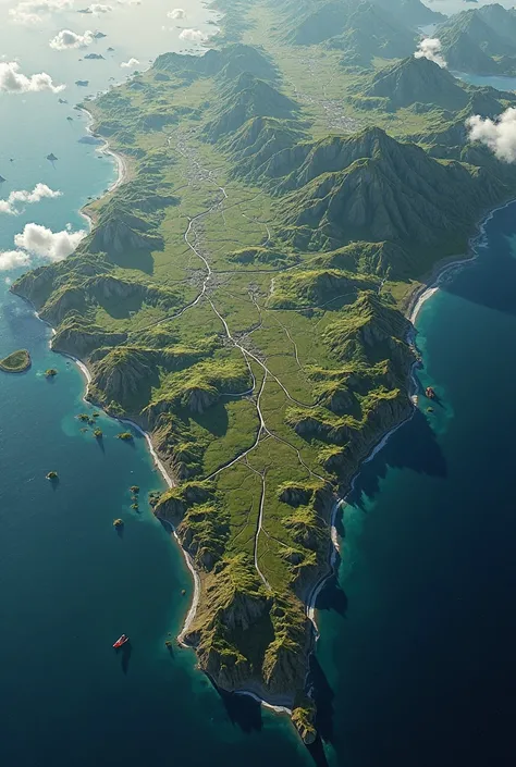
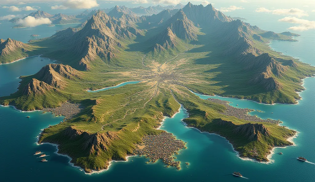
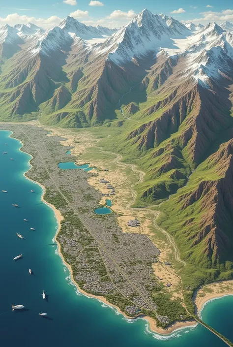
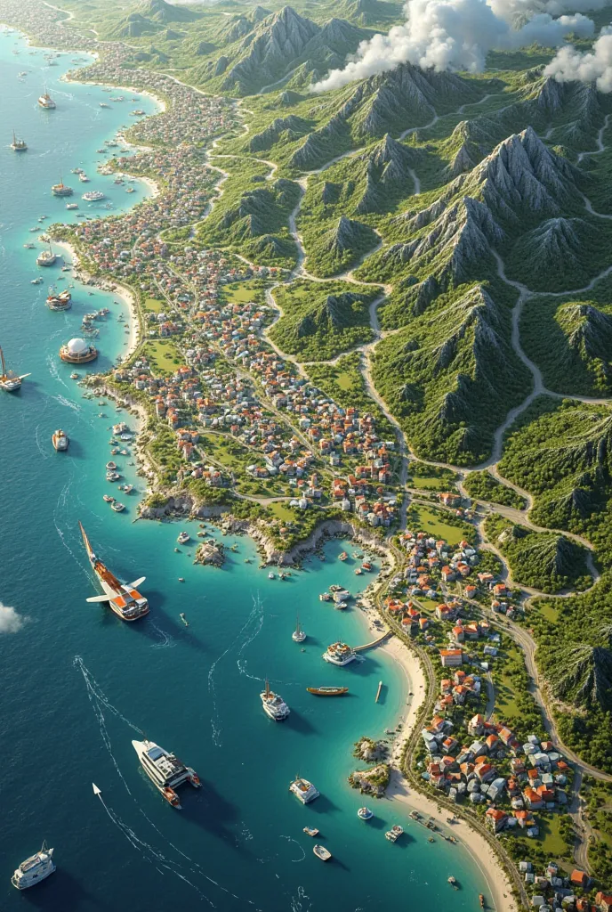
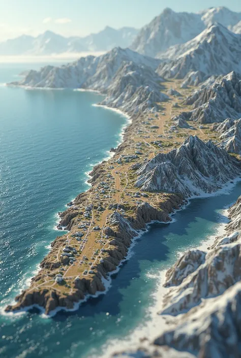
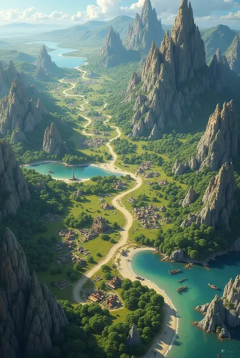
To create a detailed and atmospheric fantasy map of the kingdom of Sephoria, here is a comprehensive draft: Description of the fantasy map of Sephoria: 1. coastal and marine area: • Western Sea: In the west of the map stretches the vast, deep blue sea. The coast is irregularly shaped, with some smaller bays and cliffs. In the northwest is the city of Tirast, whose harbor lies in a natural bay. 2. mountains and fortress: • Cyrillic Mountains: In the northeast rise the high and rugged Cyrillic Mountains, that mark the northeastern border of the kingdom. The peaks are covered in snow. On one of the highest mountains sits the fortress of Dämmerwacht, an old and imposing fortress, that watches over the surrounding land. 3. rivers and lakes: • Aglion River: This river originates in the Cyrillic Mountains and flows south. It flows into the large, sparkling Sapphire Lake in the middle of the kingdom. • Narion River: Also originating in the mountains, this river flows south and crosses the capital Weroburg, before it flows further south. • Saphirsee: A large, deep blue lake in the middle of the map, in which the shoreline gently reflects. South of the lake lies the village of Lindwacht. 4. Cities: • Weroburg: The capital is located in the south of the kingdom, between the two rivers Aglion and Narion. The city is surrounded by high walls and has numerous bridges over the Narion River. • Tirast: A port city in the northwest, located directly on the coast. The city has narrow streets and a bustling harbor. • Sonnental: Located in the east on the edge of the Dark Grove. The city is known for its peaceful atmosphere and proximity to the forest. • Kalidor: This city lies south of Weroburg, between the Aglion and Narion rivers. It is an important trading center of the kingdom. 5. Villages: • Feldbach: Near the coast in the west, a small fishing village. •
Generation Data
Запись
Подсказки
Копировать подсказки
To create a detailed and atmospheric fantasy map of the kingdom of Sephoria
,
here is a comprehensive draft:
Description of the fantasy map of Sephoria:
1
.
coastal and marine area:
• Western Sea: In the west of the map stretches the vast
,
deep blue sea
.
The coast is irregularly shaped
,
with some smaller bays and cliffs
.
In the northwest is the city of Tirast
,
whose harbor lies in a natural bay
.
2
.
mountains and fortress:
• Cyrillic Mountains: In the northeast rise the high and rugged Cyrillic Mountains
,
that mark the northeastern border of the kingdom
.
The peaks are covered in snow
.
On one of the highest mountains sits the fortress of Dämmerwacht
,
an old and imposing fortress
,
that watches over the surrounding land
.
3
.
rivers and lakes:
• Aglion River: This river originates in the Cyrillic Mountains and flows south
.
It flows into the large
,
sparkling Sapphire Lake in the middle of the kingdom
.
• Narion River: Also originating in the mountains
,
this river flows south and crosses the capital Weroburg
,
before it flows further south
.
• Saphirsee: A large
,
deep blue lake in the middle of the map
,
in which the shoreline gently reflects
.
South of the lake lies the village of Lindwacht
.
4
.
Cities:
• Weroburg: The capital is located in the south of the kingdom
,
between the two rivers Aglion and Narion
.
The city is surrounded by high walls and has numerous bridges over the Narion River
.
• Tirast: A port city in the northwest
,
located directly on the coast
.
The city has narrow streets and a bustling harbor
.
• Sonnental: Located in the east on the edge of the Dark Grove
.
The city is known for its peaceful atmosphere and proximity to the forest
.
• Kalidor: This city lies south of Weroburg
,
between the Aglion and Narion rivers
.
It is an important trading center of the kingdom
.
5
.
Villages:
• Feldbach: Near the coast in the west
,
a small fishing village
.
•
Информация
Checkpoint & LoRA
Checkpoint
SeaArt Infinity
#Ландшафт
#Фотография
#Дизайн сцены
#SeaArt Infinity
0 комментариев
1
0
0
SeaArt: Удобные AI Apps
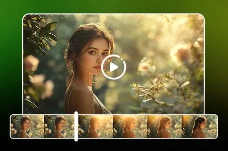
Генерация видео с помощью ИИ
Освободите своё воображение, и ИИ создаст для вас визуальные чудеса

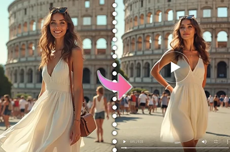
Бесплатная онлайн смена лица
Быстро создавайте забавные и реалистичные видео и фотографии с изменением лица
Фильтр Studio Ghibli
Превратите любую фотографию в уникальное искусство в стиле Ghibli всего за один клик.
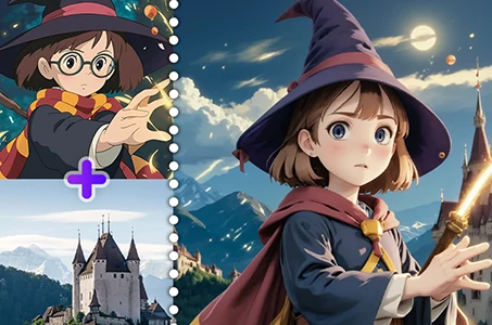
Слияние изображений с использованием AI
Объедините два изображения в один новый потрясающий визуальный эффект с помощью AI Image Fusion.
Генератор видео с танцами на базе ИИ
Используйте этот генератор видео танцев на базе ИИ и мгновенно раскройте своего внутреннего танцора!

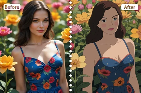
Создатель мультяшных аватаров
Превратите ваши фотографии в уникальные мультяшные аватары мгновенно.
Исследовать больше AI-приложений