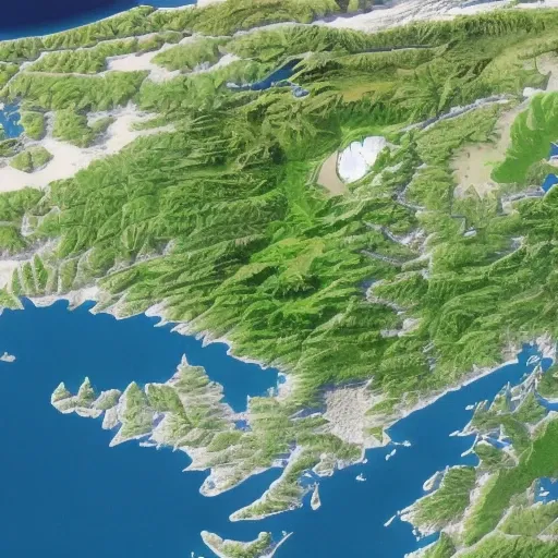
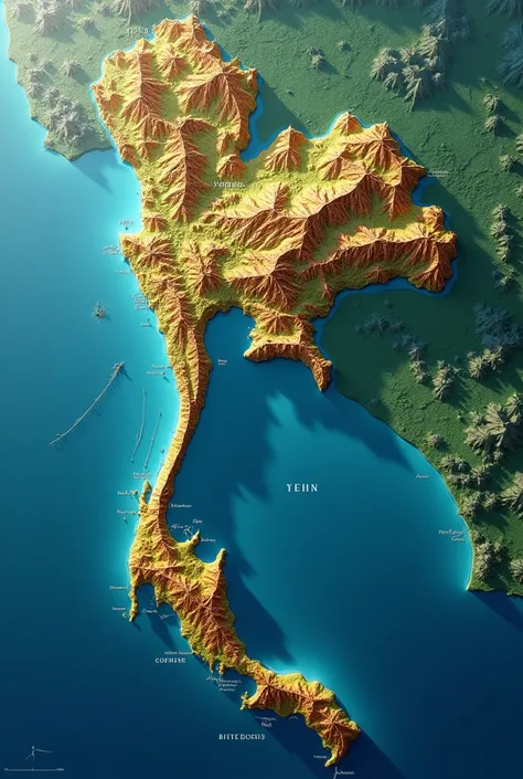
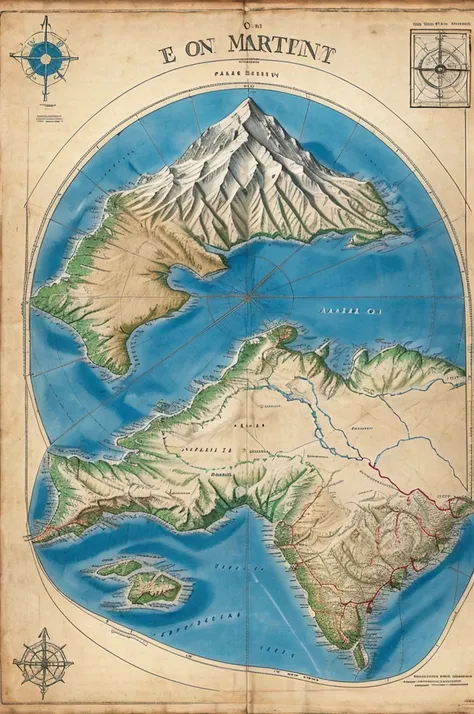
Generate an image that represents the equatorial line with geographical referenc


Generation Data
บันทึก
คำพรอมต์
คัดลอกคำพรอมต์
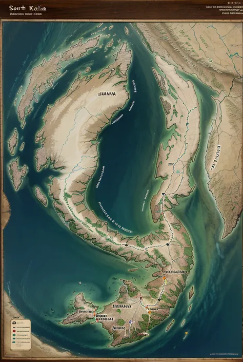
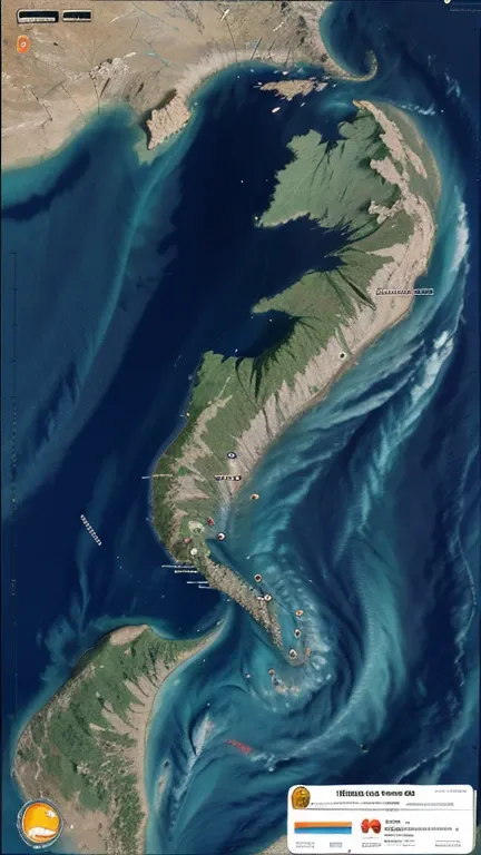
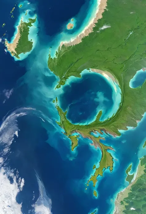
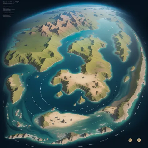
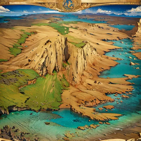
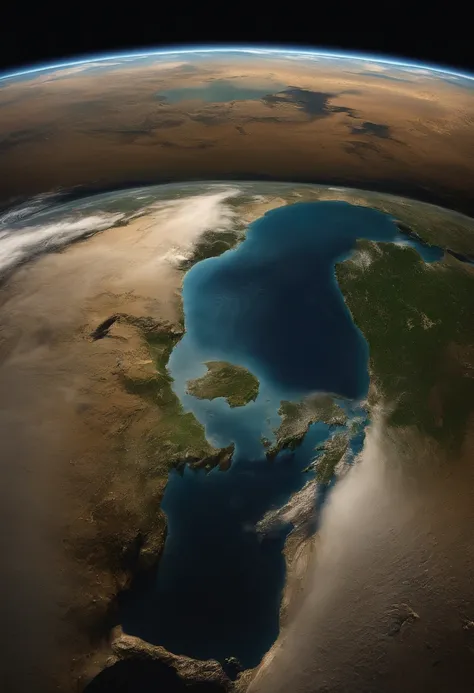
Generate an image that represents the equatorial line with geographical reference and biodiversity
.
The image must include a map showing the location of the equator in Peru
,
examples of flora and fauna characteristic of equatorial regions such as tropical plants and animals adapted to the warm climate
,
geographical elements that show the direct incidence of solar rays and the tropical climate
,
and bright colors that highlight the biological and climatic diversity of equatorial areas
.
ข้อมูล
Checkpoint & LoRA

Checkpoint
CyberRealistic
#Landscape
#Scene Design
0 ความคิดเห็น
0
0
0
แอป SeaArt Swift AI
การสร้างวิดีโอด้วย AI
ปลดปล่อยจินตนาการของคุณและให้ AI สร้างสรรค์สิ่งมหัศจรรย์ทางภาพให้คุณ

เปลี่ยนใบหน้าออนไลน์ฟรี
สร้างวิดีโอและภาพถ่ายเปลี่ยนใบหน้าที่สนุกและสมจริงอย่างรวดเร็ว

การสลับเพศ
เปลี่ยนเพศในภาพถ่ายและวิดีโอด้วย AI เปลี่ยนเพศของ SeaArt เพลิดเพลินกับการเปลี่ยนแปลงที่สนุกสนานและสมจริงได้อย่างง่ายดาย ใช้งานฟรีออนไลน์!

เครื่องสร้างวิดีโอเต้น AI
เล่นกับเครื่องสร้างวิดีโอเต้น AI นี้ ปลดปล่อยนักเต้นในตัวคุณทันที!

ตัวกรอง AI
ทำให้ภาพถ่ายทุกภาพกลายเป็นศิลปะ
ภาพเป็นศิลปะลายเส้น
เปลี่ยนภาพใด ๆ ให้เป็นงานศิลปะเส้นที่สง่างามได้อย่างง่ายดาย
สำรวจแอป AI อื่นๆ เพิ่มเติม