
Arafed view of a tripod and a camera on a tripod


H
Prompts
Copy
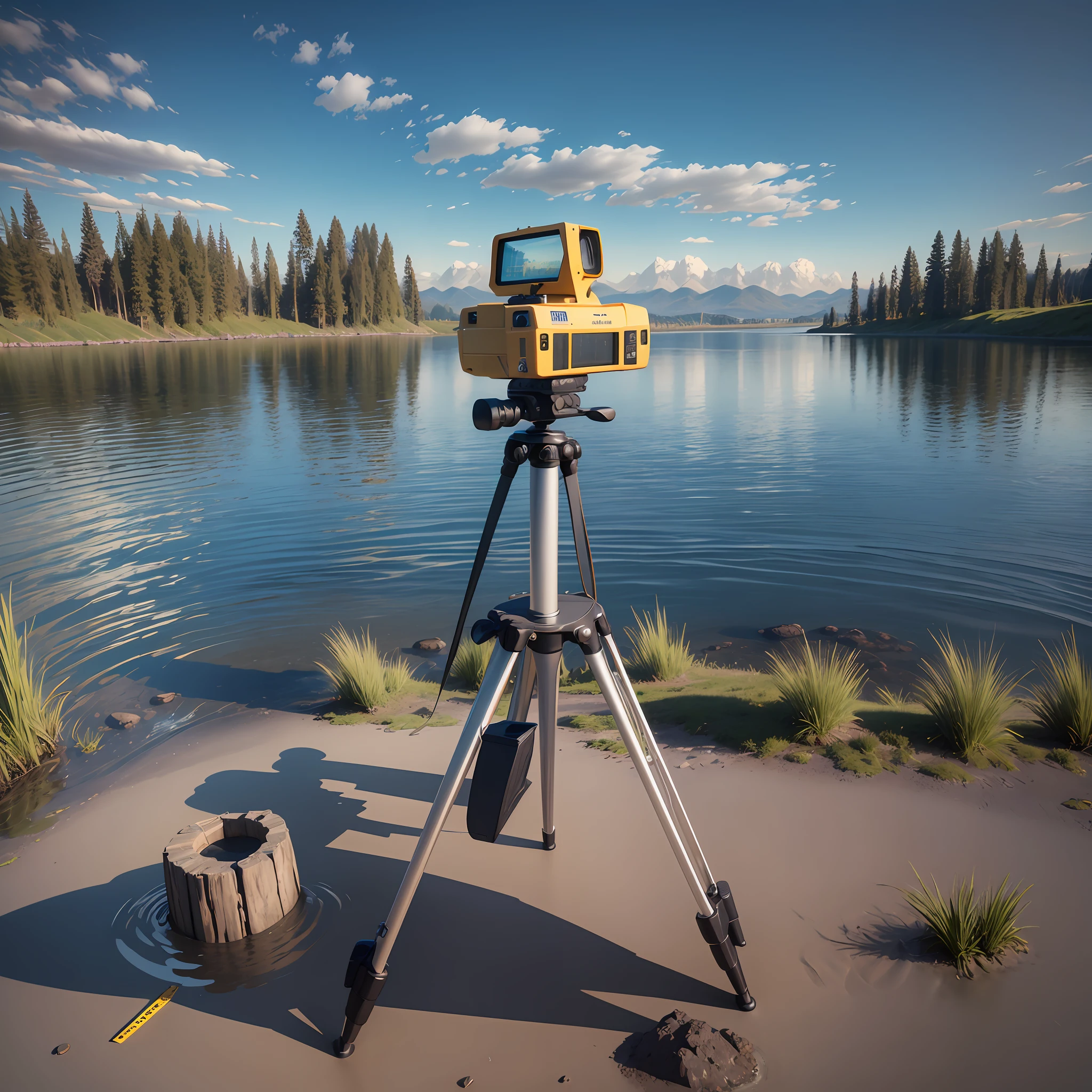
Measuring instrument on a tripod close to the water body
,
terrain scanning
,
and using special longsightedness
,
point cloud data are photographed
.
Present a relatively realistic panoramic view while photogrammetry to perfectly restore the 360-degree
,
ultra-wide-angle and wide views
.
In addition
,
satellite imagery technology is used to present the imagery
.
INFO
Checkpoint & LoRA

Checkpoint
ReV Animated
0 comment
0
2
0
SeaArt Swift AI Apps

AI Video Generation
Unleash your imagination and let AI create visual wonders for you

Face Swap Online Free
Create funny or realistic face swap videos & photos in a snap

AI Kissing Video Generator
Join the kissing trend with SeaArt's AI kissing video generator instantly. Easily make two people kiss, and create realistic animation.

Anime to Reality
Instantly bring your favorite anime characters to life.

Remove Background
Remove backgrounds from any image in seconds.

Wan 2.1 Image to Video
Animate photos with realistic motion and cinematic effects.
Explore More AI Apps