
Generate an image that represents the equatorial line with geographical referenc


Generation Data
Records
Prompts
Copy
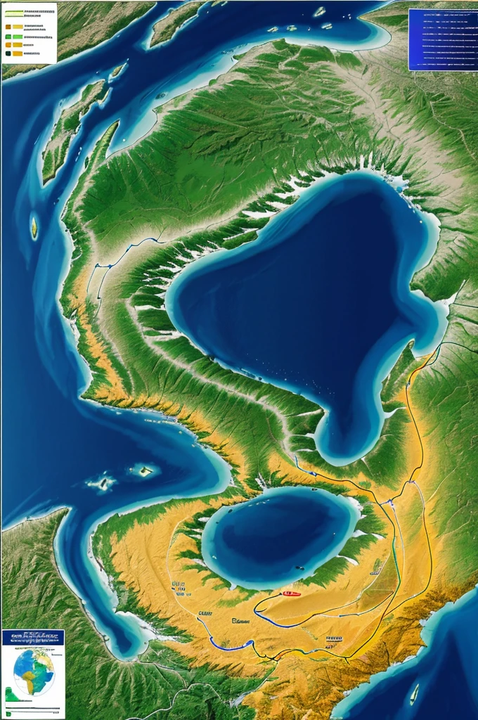
Generate an image that represents the equatorial line with geographical reference and biodiversity
.
The image must include a map showing the location of the equator in Peru
,
examples of flora and fauna characteristic of equatorial regions such as tropical plants and animals adapted to the warm climate
,
geographical elements that show the direct incidence of solar rays and the tropical climate
,
and bright colors that highlight the biological and climatic diversity of equatorial areas
.
INFO
Checkpoint & LoRA

Checkpoint
CyberRealistic
#Landscape
0 comment
0
0
0
SeaArt Swift AI Apps

AI Video Generation
Unleash your imagination and let AI create visual wonders for you

Face Swap Online Free
Create funny or realistic face swap videos & photos in a snap

Virtual Try on Clothes
Try on any type of clothes virtually with AI.

Anime to Reality
Instantly bring your favorite anime characters to life.

AI Filters
Turns every photo into a work of art

Remove Background
Remove backgrounds from any image in seconds.
Explore More AI Apps