
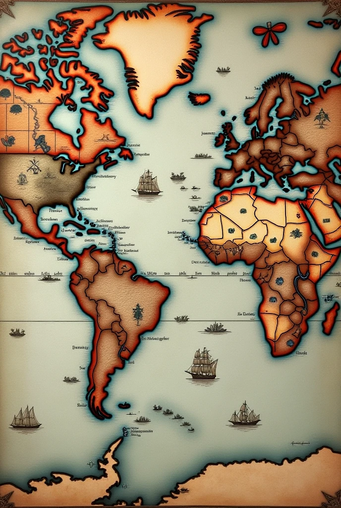
17th century World Map showing Dutch shipping routes.

There are some topics only suitable for us to discuss.
17th century World Map showing Dutch shipping routes.
Prompts
Copy
17th century World Map showing Dutch shipping routes.
INFO
Checkpoint & LoRA
Checkpoint
SeaArt Infinity
#Cartoon
#SeaArt Infinity
0 comment
0
0
0

SeaArt Swift AI Apps

AI Face Swap
Explore different identities and discover your new self with one click.

AI Image Upscaler
Make crystal clarity magic today!

Remove Background
Removes background through AI recognition

AI Text to Image Generator
Transform Plain Words into Stunning Art.

Sora Text-to-Video
Use Natural Language to Quickly Generate 60-Second Videos

AI Filters
Turns every photo into a work of art
Explore Our Swift AI Tools