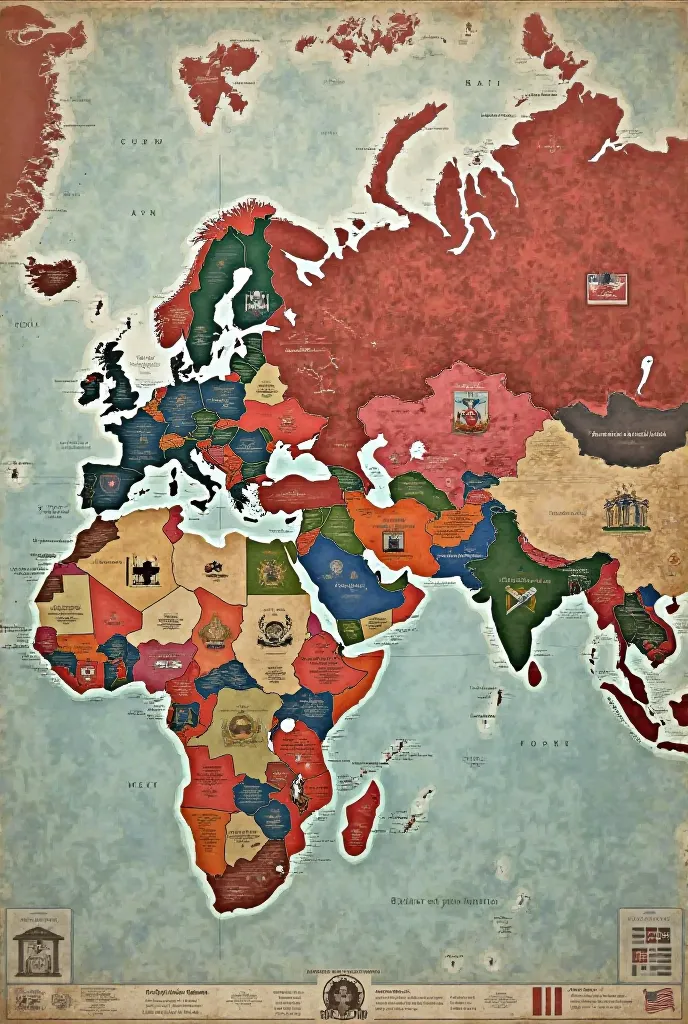
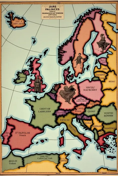
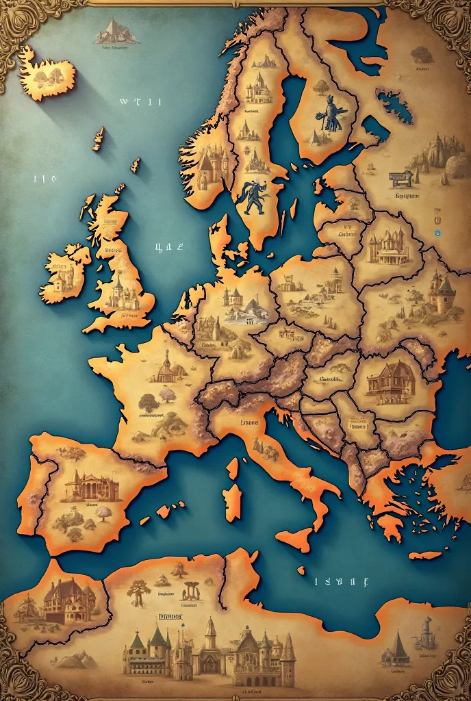
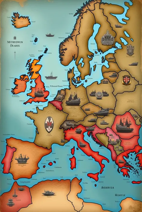
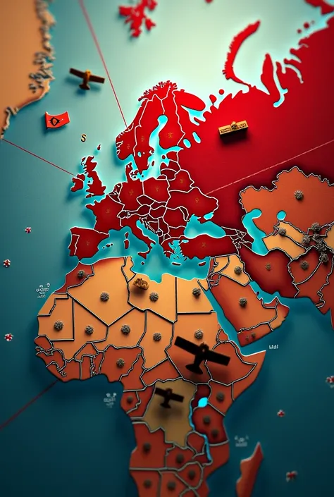
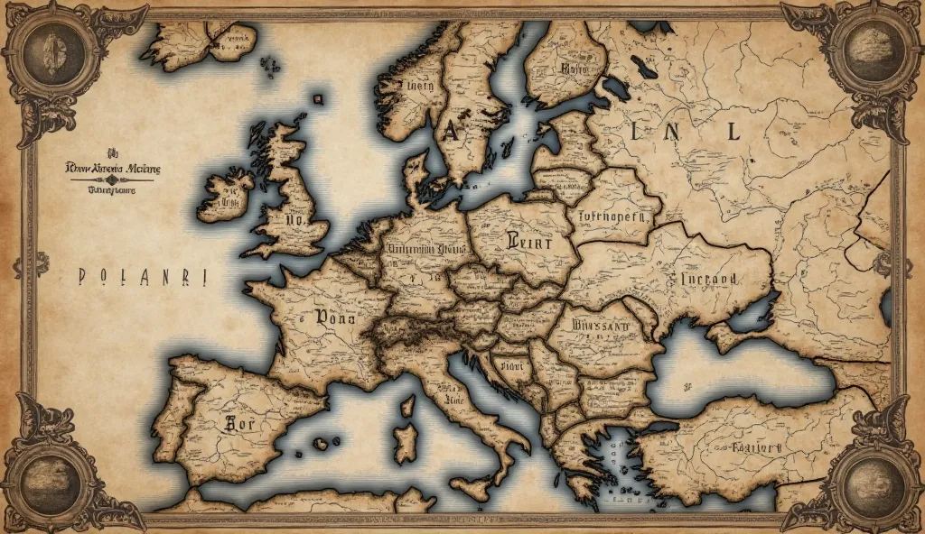
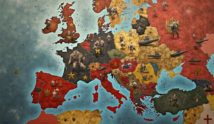
A detailed map illustrating the alliances of Edward III, set against a dark


Generation Data
기록
프롬프트
Copy prompts
A detailed map illustrating the alliances of Edward III
,
set against a dark
,
dramatic backdrop
.
The map prominently features the territories of Flanders and the Holy Roman Empire
,
with intricate borders and shading highlighting their strategic importance
.
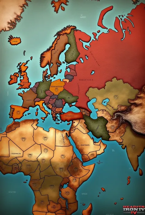
The alliances are depicted with ornate
,
vintage symbols and rich
,
muted colors that evoke the medieval period
.
England is shown at the center
,
with elaborate lines connecting it to Flanders and the Holy Roman Empire
,
encircling France in a network of political intrigue
.
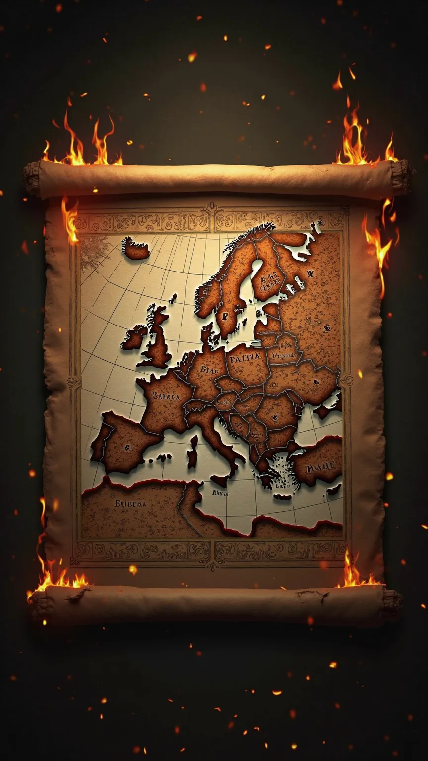
The map's aged
,
parchment-like texture adds to the atmospheric
,
cinematic quality
,
capturing the complex web of alliances that surrounded and challenged France
.
The overall tone is moody and atmospheric
,
reminiscent of Edmund Blair Leighton's evocative style
,
with a focus on rich detail and historical depth
.,
Surrealism
,
Hyperrealism
,
UHD
,
retina
,
masterpiece
,
accurate
,
anatomically correct
,
textured skin
,
super detail
,
16k
정보
Checkpoint & LoRA

Checkpoint
SeaArt Infinity
#SeaArt Infinity
0개의 댓글
0
3
0
SeaArt 빠른 AI 앱

AI 영상 생성
상상력을 해방시키고, AI가 시각적 기적을 이룩하게 하세요

무료 온라인 얼굴 바꾸기
빠르고 재미있고 진짜 같은 얼굴 바꾸기 비디오와 사진 제작

비디오 얼굴 교체
얼굴을 어떤 비디오 클립에서도 바꿔 재미있는 영상을 만들어보세요.

AI 이미지 융합
AI 이미지 퓨전을 사용하여 두 이미지를 결합해 새로운 놀라운 비주얼을 만들어보세요.

애니메이션에서 현실로
즉시 좋아하는 애니메이션 캐릭터를 생동감 있게 만들어 보세요.

AI 지우개
사진에서 원치 않는 물체, 워터마크 또는 사람을 쉽게 제거하세요.
더 많은 AI 앱 탐색