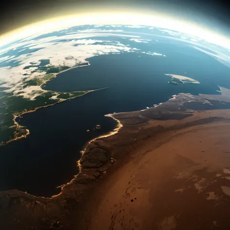
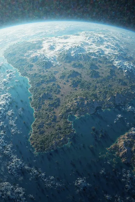
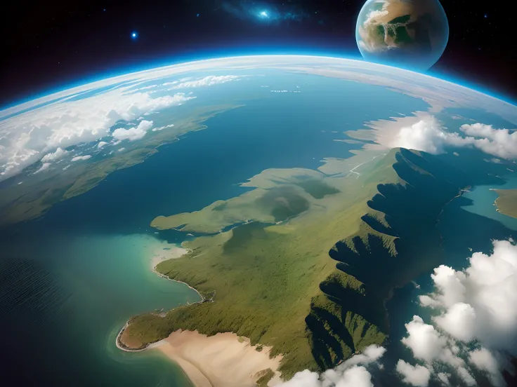
Anime - style view of a vast


คำพรอมต์
คัดลอกคำพรอมต์
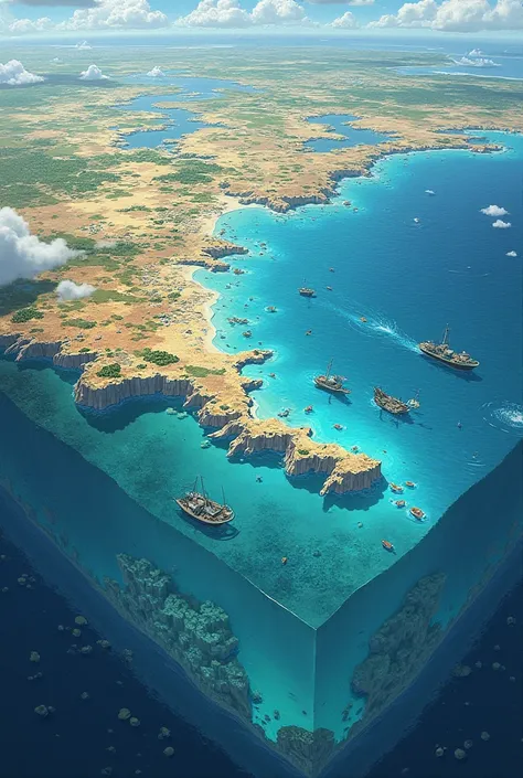
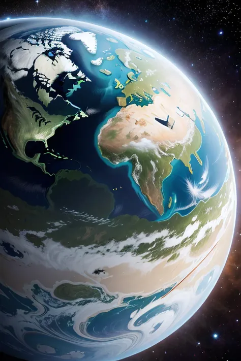
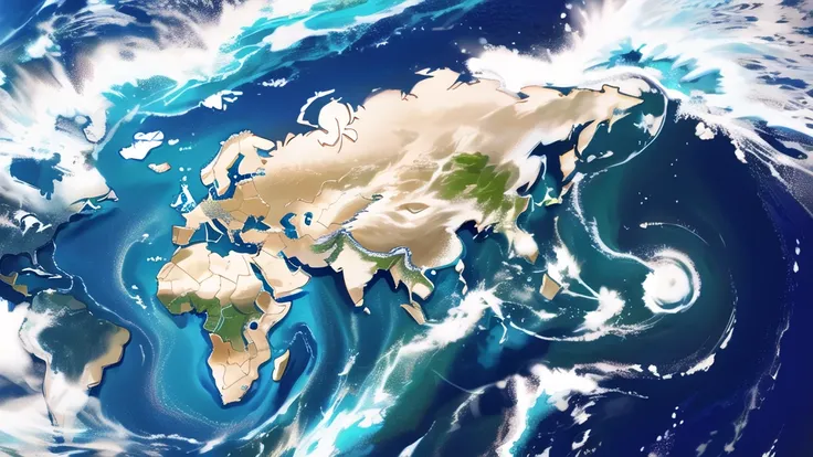
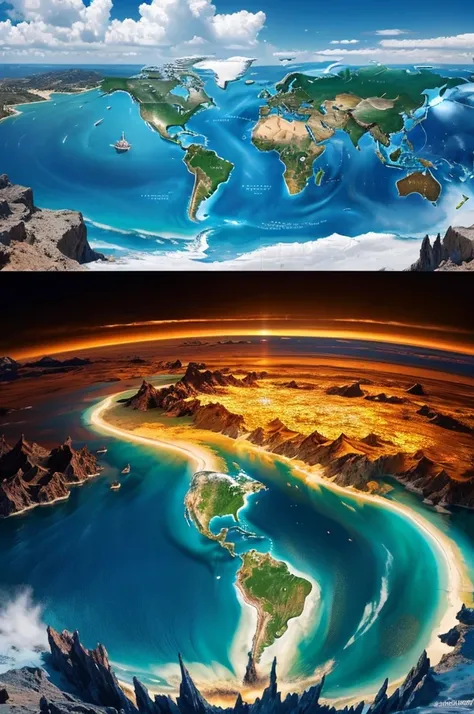
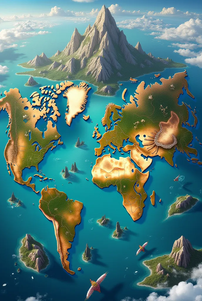
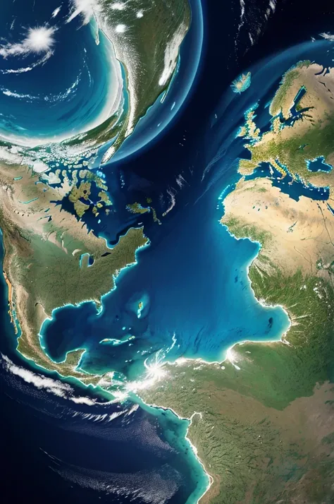
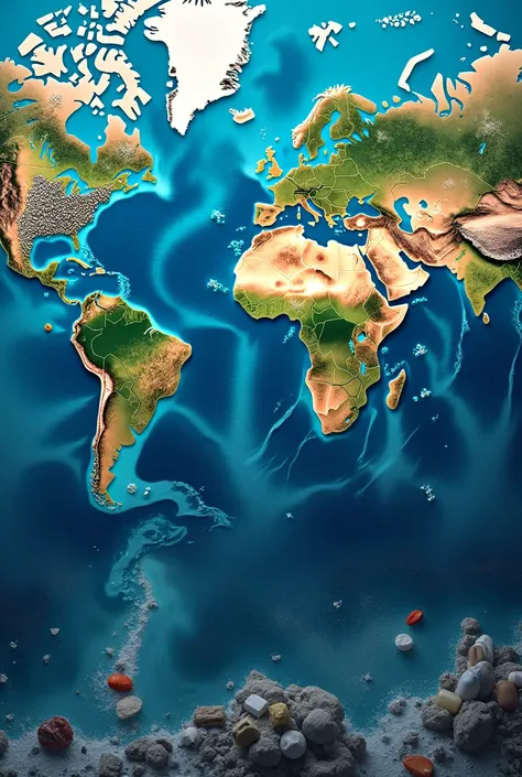
The world map、A flat map that visually represents geographic information on the earth、地球全体の地shapeや行政区分、Physical geography and economic activity、It encompasses a variety of information
。
This map is、地球を平面上に描くために特定のProjection methodを使用しており、This allows the curved surface of the Earth to be accurately reflected、実際のdistanceやareaをできるだけ正確に表現しようとしています
。
### Distinctive Element 1
.
**Projection method**:
- **Mercator projection**: The meridians and parallels are perpendicular、It is suitable for sailing、高緯度地域のareaが歪む
。
- **Robinson projection**: area、shape、distance、Balance the directional distortion、Overall easier to see
。
- **Goode projection**: areaを正確に表示し、Particularly suitable for representing global data
。
2
.
**kind**:
- **Political Map**: Border、Major cities、Indicates administrative divisions such as states and provinces
。
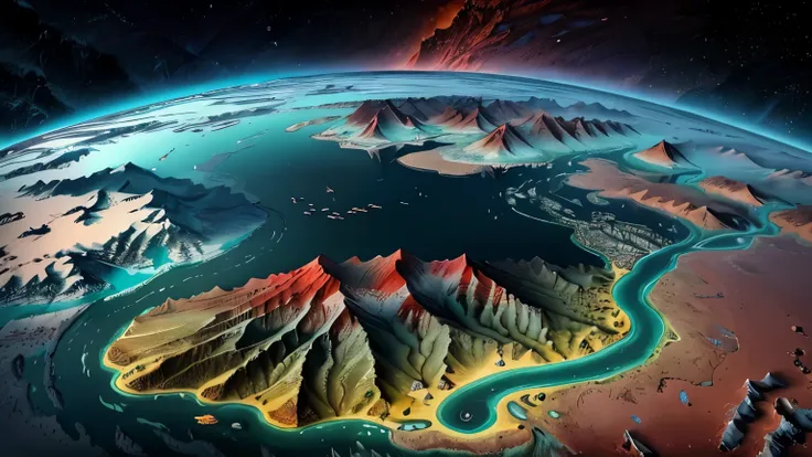
- **Physical Map**: mountains、Rivers、oceanなどの自然地shapeを強調
。
- **Climate Map**: Shows the climate classification of each region
.
、Shows temperature and precipitation patterns
。
- **Economic Map**: Shows economic activity and resource distribution in each region
。
3
.
**Content and Information**:
- All continents、ocean、Location and size of countries、shape状を明示
。
- Major geographical features、例えばmountainsや川、Show desert etc
.。
- Administrative boundaries are clearly indicated、各国の首都やMajor citiesを特定
。
### Use 1
.
**educate**:
- 学校で地理educateの基本ツールとして使用され、Help students understand the bigger picture of the world
。
- Used in geography and history classes、Like the Earth々Deepen your understanding of the region
。
2
.
**Travel and Navigation**:
- Planning tourist destinations and travel plans、Used to check the route
。
- 世界一周旅行や国際businessのための計画に不可欠
。
3
.
**science研究**:
- Used to study climate change and analyze biodiversity distribution
。
- Plays an important role in geography and geology research
。
4
.
**business**:
- International Trade、logistics、Used in marketing planning
。
- Used as a tool for market analysis and entering new markets
。
### Historical background Since ancient times
,
humans have sought to understand the big picture of the world
.
、The earliest maps date back to the 6th century BC
,
when they were drawn on Babylonian clay tablets
.
、It was further developed by ancient Greek and Roman cartographers
.。
Through the Middle Ages and the Renaissance、The modern
,
precise world map was born
.
、Advances in technology have made the whole picture of the Earth clearer
.。
The world map、It is a window to understanding the diverse regions and cultures of the world
.
、science、educate、businessの分野で不可欠なツールとして活用されています
。
ข้อมูล
Checkpoint & LoRA

Checkpoint
MeinaUnreal
#Landscape
#Scene Design
0 ความคิดเห็น
1
1
0
แอป SeaArt Swift AI
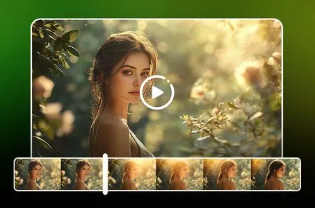
การสร้างวิดีโอด้วย AI
ปลดปล่อยจินตนาการของคุณและให้ AI สร้างสรรค์สิ่งมหัศจรรย์ทางภาพให้คุณ

เปลี่ยนใบหน้าออนไลน์ฟรี
สร้างวิดีโอและภาพถ่ายเปลี่ยนใบหน้าที่สนุกและสมจริงอย่างรวดเร็ว

วิดีโอเจนเนอเรเตอร์ AI สำหรับการจูบ
เข้าร่วมเทรนด์การจูบด้วยเครื่องสร้างวิดีโอจูบ AI ของ SeaArt ทันที สร้างให้คนสองคนจูบกันได้ง่ายๆ และสร้างภาพเคลื่อนไหวที่สมจริง
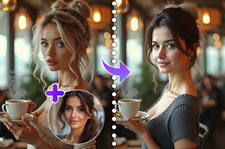
เปลี่ยนบุคคลในภาพถ่าย
เปลี่ยนตัวบุคคลในภาพถ่ายได้ง่ายด้วย AI
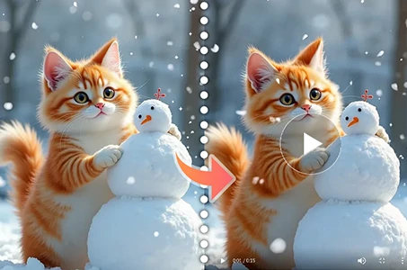
Wan 2.1 รูปภาพเป็นวิดีโอ
สร้างภาพเคลื่อนไหวในรูปถ่ายด้วยการเคลื่อนไหวที่สมจริงและเอฟเฟกต์ภาพยนตร์.

ตัวกรอง AI
ทำให้ภาพถ่ายทุกภาพกลายเป็นศิลปะ
สำรวจแอป AI อื่นๆ เพิ่มเติม