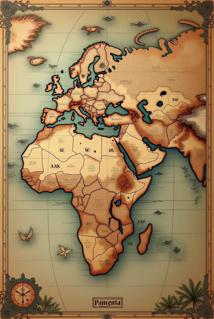
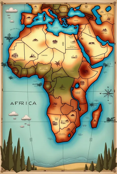
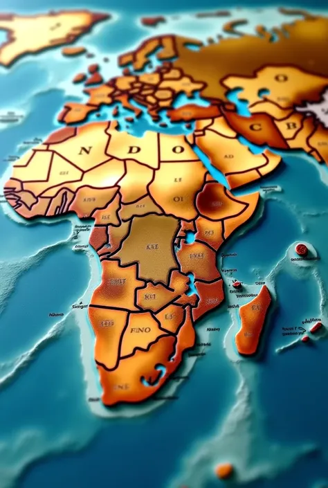
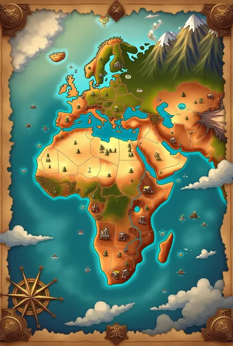
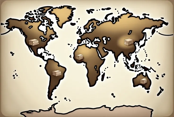
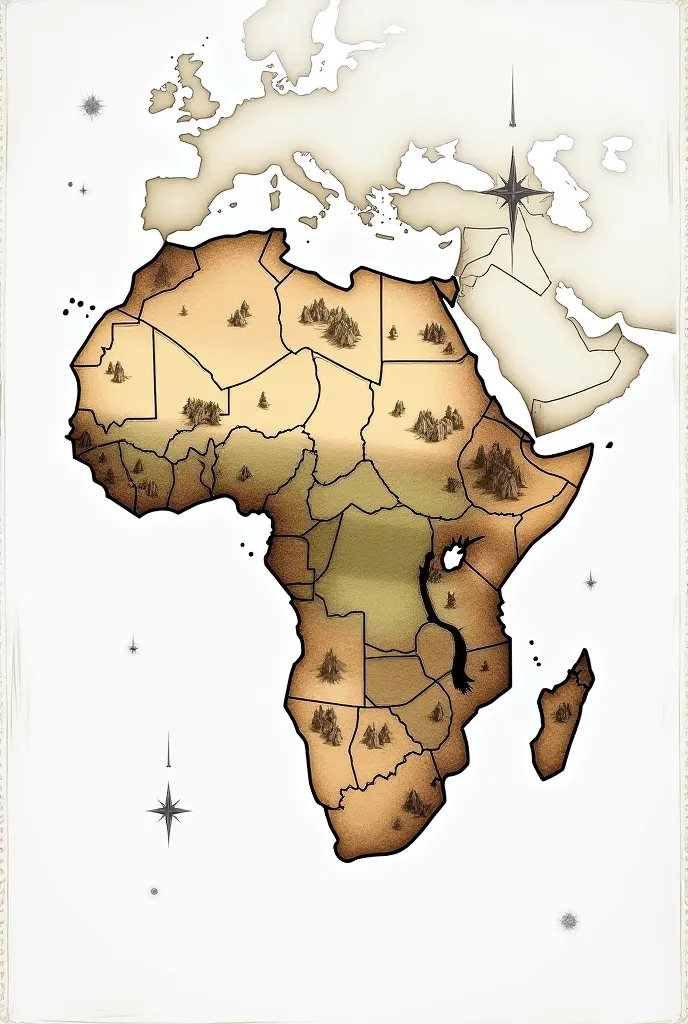
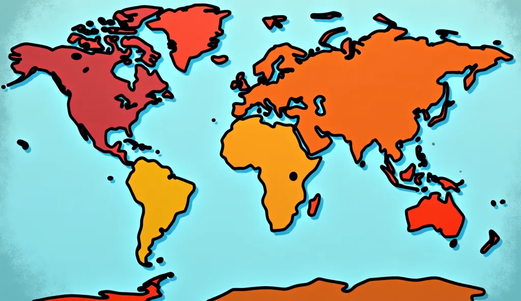
A detailed illustration showing a global map highlighting areas most affected by


A detailed illustration showing a global map highlighting areas most affected by hunger, such as parts of Africa, Asia, and Latin America. The image includes representations of the causes of hunger, like conflict zones, drought-stricken lands, and impoverished communities. Include symbols of global cooperation, such as hands coming together, grains, and food aid distribution. The color palette should evoke a sense of urgency but also hope, with contrasting shades of dark and light. The visual should emphasize the global nature of hunger while also hinting at solutions, such as agriculture and community support.
L
Generation Data
บันทึก
คำพรอมต์
คัดลอกคำพรอมต์
A detailed illustration showing a global map highlighting areas most affected by hunger
,
such as parts of Africa
,
Asia
,
and Latin America
.
The image includes representations of the causes of hunger
,
like conflict zones
,
drought-stricken lands
,
and impoverished communities
.
Include symbols of global cooperation
,
such as hands coming together
,
grains
,
and food aid distribution
.
The color palette should evoke a sense of urgency but also hope
,
with contrasting shades of dark and light
.
The visual should emphasize the global nature of hunger while also hinting at solutions
,
such as agriculture and community support
.
ข้อมูล
Checkpoint & LoRA

Checkpoint
SeaArt Infinity
#SeaArt Infinity
0 ความคิดเห็น
1
1
0
แอป SeaArt Swift AI

การสร้างวิดีโอด้วย AI
ปลดปล่อยจินตนาการของคุณและให้ AI สร้างสรรค์สิ่งมหัศจรรย์ทางภาพให้คุณ

เปลี่ยนใบหน้าออนไลน์ฟรี
สร้างวิดีโอและภาพถ่ายเปลี่ยนใบหน้าที่สนุกและสมจริงอย่างรวดเร็ว

เครื่องสร้างวิดีโอเต้น AI
เล่นกับเครื่องสร้างวิดีโอเต้น AI นี้ ปลดปล่อยนักเต้นในตัวคุณทันที!

ลองเสื้อผ้าแบบเสมือนจริง
ลองเสื้อผ้าทุกประเภทแบบเสมือนจริงด้วย AI

ตัวกรอง AI
ทำให้ภาพถ่ายทุกภาพกลายเป็นศิลปะ

เครื่องสร้างอวาตาร์การ์ตูน
เปลี่ยนภาพถ่ายของคุณให้กลายเป็นอวาตาร์การ์ตูนที่โดดเด่นได้ทันที
สำรวจแอป AI อื่นๆ เพิ่มเติม