The map, drawn on ancient, weathered parchment, shows a central village surround
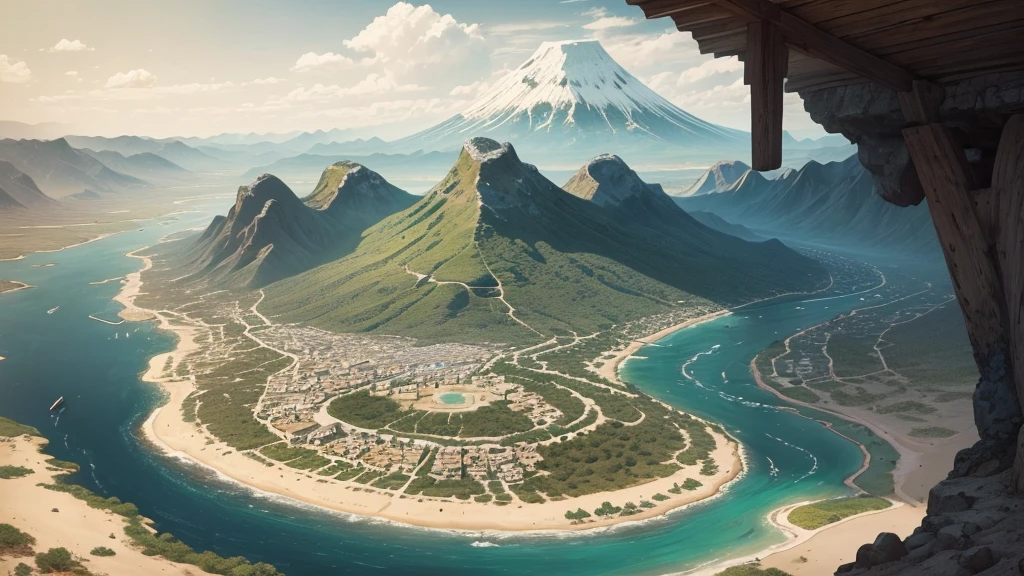


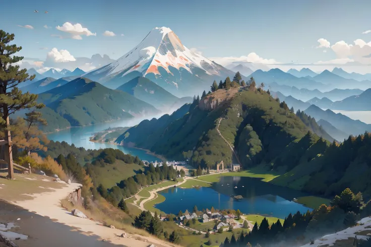
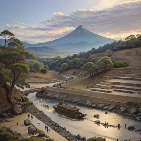
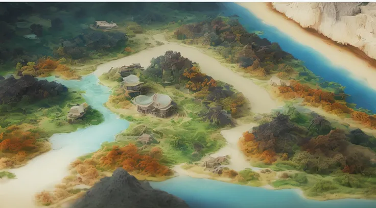
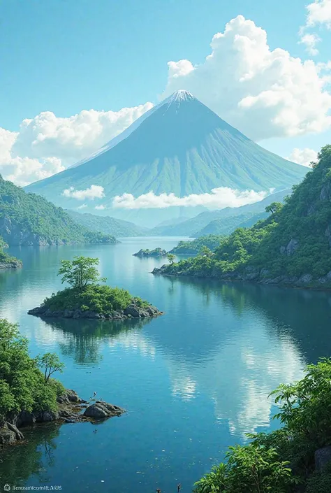
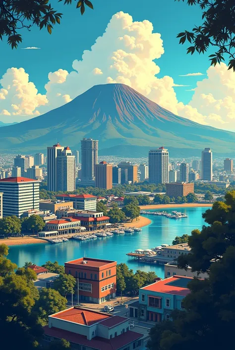
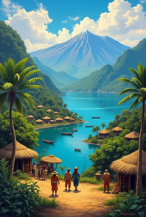
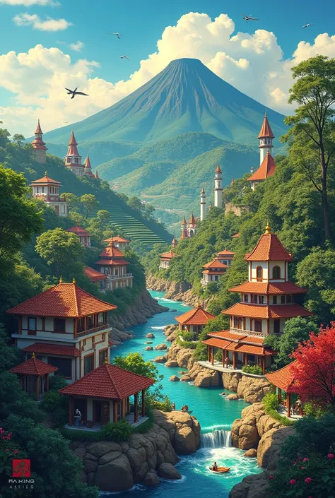
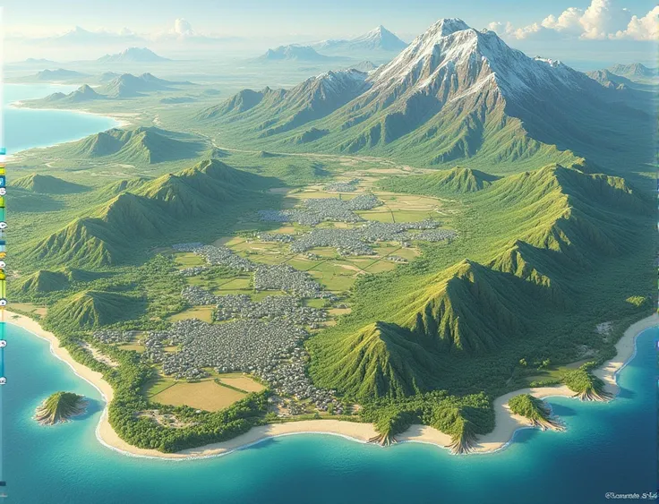
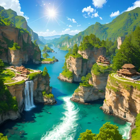
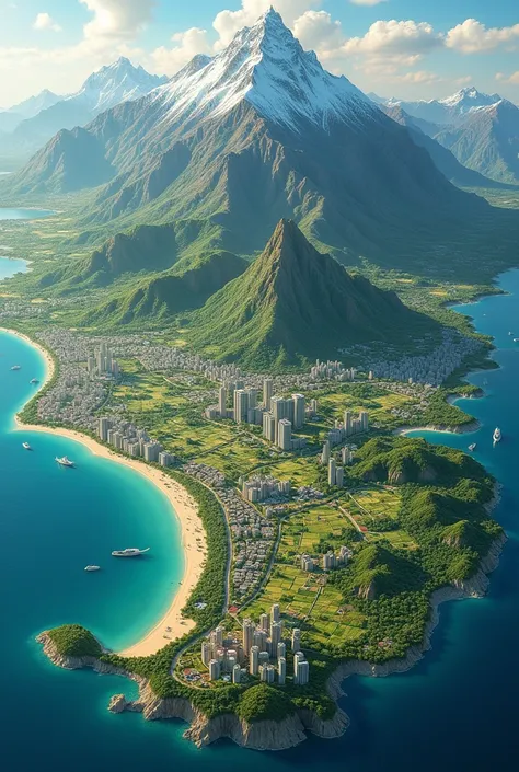
The map, drawn on ancient, weathered parchment, shows a central village surrounded by dense forest, with winding paths connecting it to various areas. A winding river runs from north to east, turning into waterfalls, while to the south, plains stretch out to a desert with an oasis town. To the west, snow-capped mountains shelter an active volcano, and to the east, the map reaches out to a vast blue ocean, dotted with islands and sailing ships. The parchment is adorned with ancient cursive script and decorative borders, giving it a rich and mysterious appearance.
كلمة التلميح
نسخ
The map
,
drawn on ancient
,
weathered parchment
,
shows a central village surrounded by dense forest
,
with winding paths connecting it to various areas
.
A winding river runs from north to east
,
turning into waterfalls
,
while to the south
,
plains stretch out to a desert with an oasis town
.
To the west
,
snow-capped mountains shelter an active volcano
,
and to the east
,
the map reaches out to a vast blue ocean
,
dotted with islands and sailing ships
.
The parchment is adorned with ancient cursive script and decorative borders
,
giving it a rich and mysterious appearance
.
معلومات
Checkpoint & LoRA

Checkpoint
ReV Animated
#المناظر الطبيعية
#أنمي
#السينوغرافيا
0 تعليق
0
0
0
تطبيقات الـAI السريعة من SeaArt

تبديل الوجه بالـAI
استكشاف الهويات المختلفة واكتشاف ذاتك الجديد بنقرة واحدة.

مبكر صورة الـAI
تجربة سحر الدقة العالية البصرية الآن!

إزالة الخلفية
إزالة الخلفية عن طريق التعرف الذكي لـAI

مولد الـAI للصورة من النص
تحويل الكلمات البسيطة إلى الفن المذهل.

ماكياج الـAI
أسرار الجمال من ملايين فناني الماكياج

Sora النص إلى الفيديو
استخدم اللغة الطبيعية لتوليد فيديو 60 ثانية بسرعة
استكشف أدوات AI السريعة لدينا