**Description of the Image Representing the Application Functions


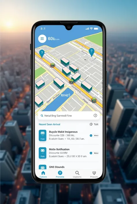
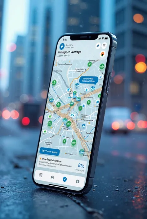
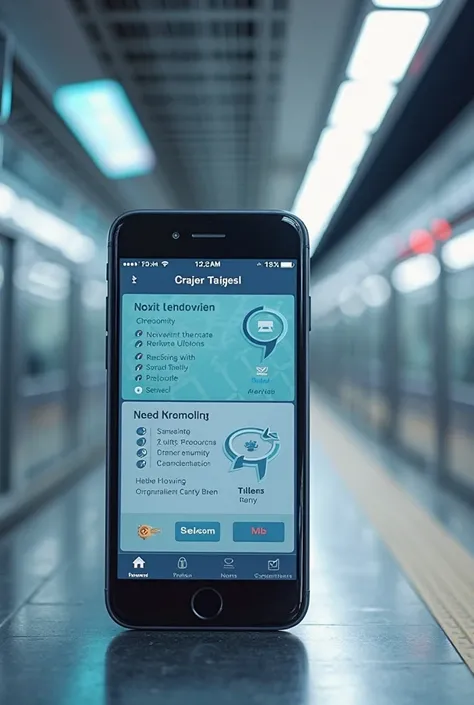
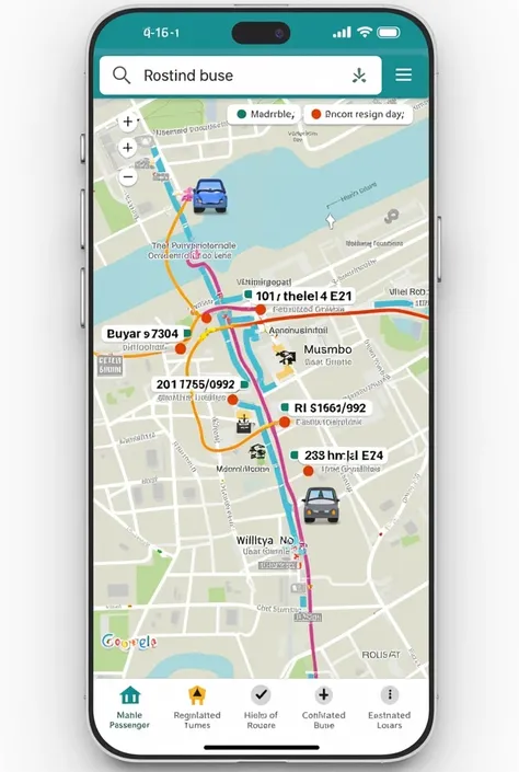
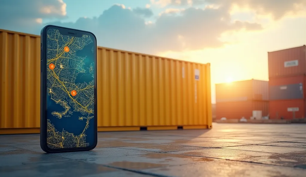
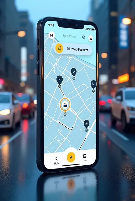
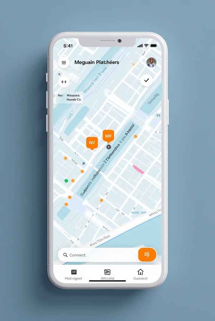
**Description of the Image Representing the Application Functions:** The image shows the interface of a smartphone displaying the bus monitoring application on a screen divided into several sections., each highlighting one of the app's main features: - **Real-Time Interactive Map:** Takes up most of the screen, showing an aerial view of the city with various bus routes plotted in different colors. Small bus icons move along the routes, indicating your position in real time. The map also highlights bus stops as blue dots., and the user's current location is marked with a bright green dot. - **Sliding Bottom Panel:** At the bottom of the screen, a partially open slide-out panel shows a list of nearby stops, each one with the estimated arrival time of the next bus. A clock icon next to each stop indicates the estimated time., For example, "5 min", "12 min", etc. - **Search Bar and Menu:** At the top of the screen, a search bar allows the user to search by line number or stop name. Next to the bar, there is a menu icon that, when touched, reveals additional options like “My Routes”, “Travel History”, and “Settings”. - **Custom Notifications:** In the upper right corner of the image, a small bell icon with an active notification suggests that the user has set an alert to be notified when the bus is nearby. - **Location Button:** In the lower right corner of the map, a target icon activates the function of centering the map on the user's current location. - **Estimated Arrival:** Highlighted in the central part of the map, a pop-up window shows the estimated arrival time of the next bus at a specific stop selected by the user, displaying line number, the final destination and the time remaining until arrival. The image conveys the idea of an intuitive and modern application, where technology is used to improve the user experience in transportation
คำพรอมต์
คัดลอกคำพรอมต์
**Description of the Image Representing the Application Functions:**
The image shows the interface of a smartphone displaying the bus monitoring application on a screen divided into several sections
.,
each highlighting one of the app'
;
s main features:
- **Real-Time Interactive Map:** Takes up most of the screen
,
showing an aerial view of the city with various bus routes plotted in different colors
.
Small bus icons move along the routes
,
indicating your position in real time
.
The map also highlights bus stops as blue dots
.,
and the user'
;
s current location is marked with a bright green dot
.
- **Sliding Bottom Panel:** At the bottom of the screen
,
a partially open slide-out panel shows a list of nearby stops
,
each one with the estimated arrival time of the next bus
.
A clock icon next to each stop indicates the estimated time
.,
For example
,
"5 min"
,
"12 min"
,
etc
.
- **Search Bar and Menu:** At the top of the screen
,
a search bar allows the user to search by line number or stop name
.
Next to the bar
,
there is a menu icon that
,
when touched
,
reveals additional options like “My Routes”
,
“Travel History”
,
and “Settings”
.
- **Custom Notifications:** In the upper right corner of the image
,
a small bell icon with an active notification suggests that the user has set an alert to be notified when the bus is nearby
.
- **Location Button:** In the lower right corner of the map
,
a target icon activates the function of centering the map on the user'
;
s current location
.
- **Estimated Arrival:** Highlighted in the central part of the map
,
a pop-up window shows the estimated arrival time of the next bus at a specific stop selected by the user
,
displaying line number
,
the final destination and the time remaining until arrival
.
The image conveys the idea of an intuitive and modern application
,
where technology is used to improve the user experience in transportation
ข้อมูล
Checkpoint & LoRA

Checkpoint
SeaArt Infinity
#SeaArt Infinity
0 ความคิดเห็น
0
5
0
แอป SeaArt Swift AI

การสลับหน้า AI
สำรวจอัตลักษณ์ที่แตกต่างและค้นพบตัวตนใหม่ของคุณด้วยการคลิกเพียงครั้งเดียว

AI โปรแกรมปรับปรุงภาพ
สัมผัสกับงานเลี้ยงภาพ HD ได้แล้ววันนี้!

ลบพื้นหลัง
AI ตัดพื้นหลังโดยอัตโนมัติ

เครื่องมือสร้างภาพ AI จากข้อความ
เปลี่ยนข้อความง่ายๆ ให้เป็นงานศิลปะที่น่าทึ่ง
ลบ AI
ลบข้อบกพร่องของภาพหรือวัตถุที่ไม่ต้องการในขณะที่รักษาพื้นหลังไว้

วาดร่างภาพ
สร้างผลงานที่สวยงามด้วยการวาดในไม่กี่ครั้ง
สำรวจเครื่องมือ Swift AI ของเรา